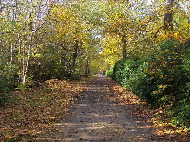
Black Park Country Park
![]()
![]() With over 10 miles of well signed cycling and walking tracks, Black Park is the ideal place for a great day out in the country. Set in 535 acres of woodland and heathland, you will find lakes, picnic areas, cafes and a Go Ape Tree top adventure course. The park is located in Wexham, just a few miles east of Slough.
With over 10 miles of well signed cycling and walking tracks, Black Park is the ideal place for a great day out in the country. Set in 535 acres of woodland and heathland, you will find lakes, picnic areas, cafes and a Go Ape Tree top adventure course. The park is located in Wexham, just a few miles east of Slough.
The route below begins at the car park next to the lake and takes you to the famous Pinewood studios where many blockbuster films have been produced. You continue through the park to Upton Wood where you will circle the lake before returning to the finish point back at the car park.
The route is suitable for both cyclists and walkers but for cyclists there is also the
Beeches cycleway. This 12 mile, signposted route joins Black Park, Stoke Common, Burnham Beeches and Dorney Lake allowing you to extend your ride if you wish. For walkers you may also like to try the Beeches way walk which passes through Black Park.
Also of interest is the nearby Langley Park Country Park which lies just to the south of Black Park.
Postcode
SL3 6DS - Please note: Postcode may be approximate for some rural locationsPlease click here for more information
Black Park Country Park Ordnance Survey Map  - view and print off detailed OS map
Black Park Country Park Open Street Map  - view and print off detailed map
Black Park Country Park OS Map  - Mobile GPS OS Map with Location tracking
Black Park Country Park Open Street Map  - Mobile GPS Map with Location tracking
Pubs/Cafes
There are two nice cafes in the park where you can enjoy some refreshments after your exercise. The San Remo Cafe is just to the south of the lake. There's a great outdoor seating area with views over the water here.
Dog Walking
As you'd expect the miles of wooded trails are excellent for dog walking so you'll probably see other owners on your visit. There are also dog water areas in the park.
Further Information and Other Local Ideas
Just to the north east in Uxbridge you'll find Denham Country Park. There's some nice waterside trails along the Grand Union Canal Walk and the Colne Valley Trail here. The Celandine Route also runs just to the east of the trail. It will take you along the River Pinn from Pinner to Cowley.
To the north is Gerrards Cross where there's some nice trails on the town's common and a fine 17th century commonside pub to visit afterwards.
For more walking ideas in the area see the Buckinghamshire Walks page.
Cycle Routes and Walking Routes Nearby
Photos
Trees in Black Park Country Park, Iver Heath. This photo shows what the wood is like, fairly open spaced conifers. Another photo submitted for this square shows the foxgloves at the base of these trees.


