Latrigg Walk
![]()
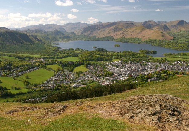
![]() Climb this popular fell near Keswick on this lovely circular walk in the Lake District National Park. The walk starts in the town of Keswick and ascends Latrigg using the Cumbria Way and other footpaths. You continue towards Brundholme before returning through Brundholme Wood with a section along the Keswick Railway Path leading back into Keswick. This final section includes waterside walking along the River Greta.
Climb this popular fell near Keswick on this lovely circular walk in the Lake District National Park. The walk starts in the town of Keswick and ascends Latrigg using the Cumbria Way and other footpaths. You continue towards Brundholme before returning through Brundholme Wood with a section along the Keswick Railway Path leading back into Keswick. This final section includes waterside walking along the River Greta.
The summit stands at 368 m (1,207 ft) and the views of Derwent Water, Keswick and down the valley of Borrowdale are stunning. This is a popular walk because of its proximity to Keswick. It is also a relatively straightforward climb on well defined paths.
Another popular fell is the nearby Catbells which gives faboulous views across Derwent Water.
Also nearby is the fascinating Castlerigg Stone Circle. The ancient stone circle is located about a mile from Kewswick and is well worth a visit.
Latrigg Ordnance Survey Map  - view and print off detailed OS map
Latrigg Open Street Map  - view and print off detailed map
Latrigg OS Map  - Mobile GPS OS Map with Location tracking
Latrigg Open Street Map  - Mobile GPS Map with Location tracking
Pubs/Cafes
Head into Keswick and you can visit the Lake Road Inn for some post walk refreshments. The pub does good food and also has a nice garden area to sit out in if the weather is fine. You can find the pub on 10 Lake Road with a postcode of CA12 5BT for your sat navs. It's also dog friendly inside and outside if you have your canine friend with you.
Further Information and Other Local Ideas
The Keswick Railway Path will take you east through the River Great Valley on the old railway line to Threlkeld. Here you could visit Threlkeld Quarry Museum and enjoy a ride on the narrow gauge railway that runs into the old quarry. There's also a collection of historic machinery, such as locomotives and cranes, an underground tour of a realistic mine, a comprehensive geological and mining museum, and mineral panning.
Cycle Routes and Walking Routes Nearby
Photos
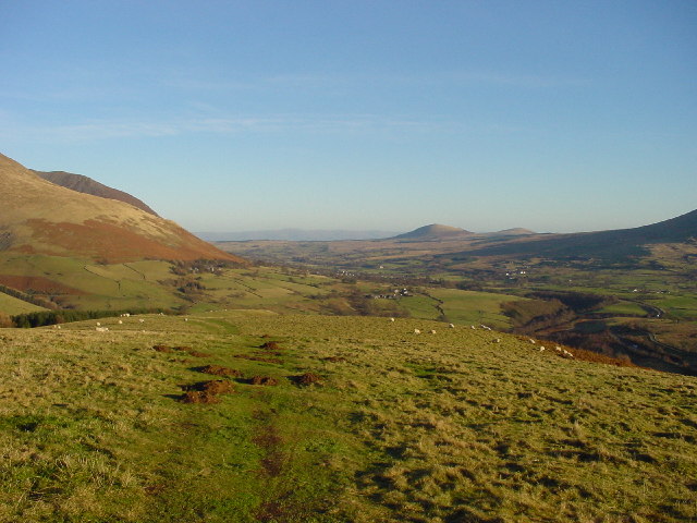
Footpath on Latrigg. Blencathra is to left, with Little Mell Fell and Great Mell Fell in far distance.
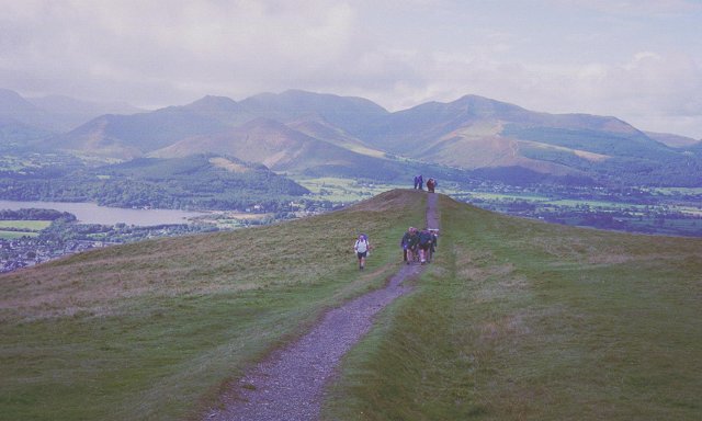
A group of walkers approaching the summit, the path using a bank that was an old boundary. View towards Grisedale Pike and Coledale.


