Weir Wood Reservoir
![]()
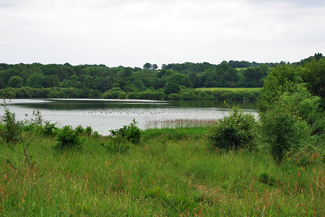
![]() This 280 acre reservoir has a super circular walking path to try.
The path runs quite close to the lake along the northern side with country trails to follow around the eastern and southern side.
This 280 acre reservoir has a super circular walking path to try.
The path runs quite close to the lake along the northern side with country trails to follow around the eastern and southern side.
The western end of the reservoir is a protected nature reserve and bird sanctuary designated as a Site of Special Scientific Interest. Habitats include strips of open grassland, scrub and woodland. Low lying meadows also form part of the reserve. Look out for kingfisher, tern, osprey, teal swifts, swallows and whitethroat.
The reservoir is located just to the west of Forest Row and about 7 miles north east of Haywards Heath.
The Forest Way and the Sussex Border Path both run past the reservoir so you could easily pick up either of these trails if you'd like to continue your walk.
If you head north you'll soon come to the National Trust owned Standen House. The Standen Estate has 100 acres of parkland, gardens and woodland to explore and is well worth a visit.
Postcode
RH19 4HP - Please note: Postcode may be approximate for some rural locationsWeir Wood Reservoir Ordnance Survey Map  - view and print off detailed OS map
Weir Wood Reservoir Open Street Map  - view and print off detailed map
Weir Wood Reservoir OS Map  - Mobile GPS OS Map with Location tracking
Weir Wood Reservoir Open Street Map  - Mobile GPS Map with Location tracking
Pubs/Cafes
You could head just north of the reservoir and visit the Standen Barn Cafe at Standen House. The 18th-century barn is home to the Barn Café which serves a range of seasonal dishes, and hot and cold drinks. They have nice outdoor seating for warmer days.
Dog Walking
The reservoir and its woodland are a lovely place for a dog walk. The Standen Barn Cafe mentioned above also welcomes dogs outside or in the associated Potting Shed.
Further Information and Other Local Ideas
The Forest Row Walk visits the reservoir from the nearby village. It then heads to the northern edge of Ashdown Forest for some peaceful woodland walking. The circular Ashurst Wood Walk starts nearby and heads to the site.
For more walking ideas in the area see the Sussex Walks page.
Cycle Routes and Walking Routes Nearby
Photos
Weir Wood Reservoir Dam. Looking South-East along the dam, you can just see the water works peeking over the top of the dam. The cars and boats visible are part of the active water sports centre.
The outlet tower. The site is owned bt Southern Water and has a number of activities including sailing which is organised through Weir Wood Sailing Club. There is also a coarse fishery run by Weir Wood Fishery. The Millennium Walk footpath runs from the water treatment works at the reservoir and joins a public footpath along the fence line, with a picnic site offering spectacular views across the water about one kilometre west of the works.


