Forest Row Walks
![]()
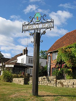
![]() This large East Sussex based village is in a good spot for exploring the countryside and woodland of the High Weald. Several waymarked footpaths run past the village and the expansive Ashdown Forest is also nearby.
This large East Sussex based village is in a good spot for exploring the countryside and woodland of the High Weald. Several waymarked footpaths run past the village and the expansive Ashdown Forest is also nearby.
This circular walk from Forest Row takes you to Weir Wood Reservoir and Ashdown Forest. There's a nice mix of countryside, waterside and woodland trails to enjoy on the way.
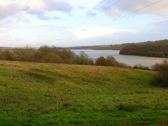
The walk starts in the village and then follows footpaths west to the atmospheric ruins of Brambletye House. You continue west to reach Weir Wood Reservoir where you can follow a section of the Sussex Border Path along the northern side of the water. At the western end of the resevoir you'll come to the Weir Wood Nature Reserve where there are good wildlife spotting opportunities.
Follow country lanes south east and you will come to the northern outskirts of Ashdown Forest where you can pick up some peaceful woodland trails through Lavender Platt. Look out for woodland birds and fallow deer as you make your way through the forest. Follow the trails east and they will take you through Kidbrooke Wood to the Chalybeate Spring. Head north and footpaths will take you back into Forest Row.
Forest Row Ordnance Survey Map  - view and print off detailed OS map
Forest Row Open Street Map  - view and print off detailed map
Forest Row OS Map  - Mobile GPS OS Map with Location tracking
Forest Row Open Street Map  - Mobile GPS Map with Location tracking
Further Information and Other Local Ideas
The Forest Way runs past the northern edge of the village.
At the eastern end of the route you'll find Groombridge Place Gardens. Here you can explore beautiful, award winning gardens surrounding a fine moated manor house.
The village is located close to the town of East Grinstead. Here you can try the circular East Grinstead Walk and visit the National Trust's Standen House. You can also pick up the Worth Way, a shared cycling and walking trail running along a disused railway line to Crawley.
The circular Ashurst Wood Walk starts from the neighbouring village just to the north. It visits the village on the High Weald Landscape Trail before heading off to Weir Wood Reservoir.
For more walking ideas in the area see the Sussex Walks page.
Cycle Routes and Walking Routes Nearby
Photos
Lewes Road, Forest Row, East Sussex, looking south to Holy Trinity parish church. On the left is part of the Village Hall, built in 1892.
Weir Wood Reservoir. Completed in 1953 and covering a river valley once occupied by the River Medway.


