London to St Albans
![]()
![]() This ride follows London Cycle Network and National Cycle Network routes from south west London to the Hertfordshire town of St Albans. The route runs for about 35 miles, following signed paths through west London including waterside sections along the River Thames, the Colne Valley and the Grand Union Canal.
This ride follows London Cycle Network and National Cycle Network routes from south west London to the Hertfordshire town of St Albans. The route runs for about 35 miles, following signed paths through west London including waterside sections along the River Thames, the Colne Valley and the Grand Union Canal.
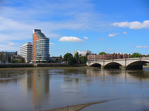
The route starts in South West London on Putney Bridge. Here you can pick up National Cycle Route 4 to take you along the river towards Barnes. You continue through Chiswick before crossing the Kew Bridge to head through Brentford. Here you pick up a nice waterside section along the Grand Union Canal, heading west through Norwood Green, Hayes and Hillingdon before coming to Uxbridge.
The next stage takes you along the lovely Colne Valley Trail where you'll pass a series of pretty lakes with views of the River Colne. Just before Rickmansworth you turn north east to follow another traffic free section to Watford. Here you turn north on a mixture of quiet roads and off road trails to Bricket Wood Common where you pass through the common. The final section runs through How Wood before coming into St Albans.
To continue your riding in the St Albans area try the Alban Way or the Cole Green Way. They are both nice traffic free rides taking you into the Hertfordshire countryside.
See the St Albans Cycle Routes page for more rides around the area.
London to St Albans Ordnance Survey Map  - view and print off detailed OS map
London to St Albans Open Street Map  - view and print off detailed map
*New* - Walks and Cycle Routes Near Me Map - Waymarked Routes and Mountain Bike Trails>>
London to St Albans OS Map  - Mobile GPS OS Map with Location tracking
London to St Albans Open Street Map  - Mobile GPS Map with Location tracking
Further Information and Other Local Ideas
In St Albans there's some nice cycling and walking trails around the Heartwood Forest near Sandridge.


