Bricket Wood Common
![]()
![]() Enjoy a stroll around this area of ancient woodland and dry heath, located near Watford. The walk starts from Bricket Wood railway station which is a short hop from the common. Here you can pick up the trails running across the site which includes ponds, streams and a variety of wildlife. Look out for various woodland birds and different types of butterfly during the warmer months.
Enjoy a stroll around this area of ancient woodland and dry heath, located near Watford. The walk starts from Bricket Wood railway station which is a short hop from the common. Here you can pick up the trails running across the site which includes ponds, streams and a variety of wildlife. Look out for various woodland birds and different types of butterfly during the warmer months.
The Ver-Colne Valley Walk skirts the eastern edge of the common. The riverside trail will takes you along the rivers Ver and Colne which run through the surrounding area. The waymarked footpath is a great way to extend your walk from the common.
Postcode
AL2 3PQ - Please note: Postcode may be approximate for some rural locationsBricket Wood Common Ordnance Survey Map  - view and print off detailed OS map
Bricket Wood Common Open Street Map  - view and print off detailed map
Bricket Wood Common OS Map  - Mobile GPS OS Map with Location tracking
Bricket Wood Common Open Street Map  - Mobile GPS Map with Location tracking
Dog Walking
The common is a great place to walk your dog and you'll probably see other owners on your visit.
Further Information and Other Local Ideas
To continue your walking in the area head into Watford and pick up the trails through the pretty Cassiobury Park. In the park you can join with the Grand Union Canal and Colne Valley Trail for some lovely waterside walks.
The circular walk from Radlett visits the common from the nearby village. You can catch the train there and then follow the trail to the common via the Rivers Colne and Ver. The route also passes close to the lovely Aldenham Country Park where there's a nice lakeside trail to try.
On the northern outskirts of St Albans there's miles of good cycling and walking trails to be found around the Heartwood Forest near Sandridge.
Just to the west is neighbouring Abbots Langley where you can explore Leavesden Country Park. There's some good cycling and walking trails here with attractive parkland including the largest Monkey Puzzle tree in Hertfordshire. Other facilities including an outdoor gym and a BMX track.
For more walking ideas in the area see the Hertfordshire Walks page.
Cycle Routes and Walking Routes Nearby
Photos
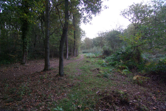
Bricket Wood Common. Looking NNE along a ride through the wood from the bridleway between Bucknalls Lane and School Lane.
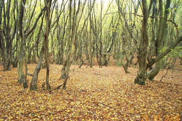
Deciduous woodland typical of about half of this grid square. This view was taken just off School Lane.


