Wessex Ridgeway Trail
![]()
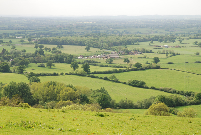
![]() Follow the Wessex Ridgeway Trail and enjoy spectacular views of the Dorset countryside on this shared walking and cycling path.
Follow the Wessex Ridgeway Trail and enjoy spectacular views of the Dorset countryside on this shared walking and cycling path.
The trail begins at Tollard Royal in Wiltshire and heads to Hambledon Hill passing through Ashmore Wood and crossing the River Iwerne on the way.
A short section along the river Stour and a wooded spell through Blandford Forest take you to Ibberton and then onto Up Cerne and Maiden Newton. You then head to Beaminster before passing through the beautiful Marshwood Vale and finishing on the Jurassic Coast at Lyme Regis.
Please click here for more information
Wessex Ridgeway Trail Ordnance Survey Map  - view and print off detailed OS map
Wessex Ridgeway Trail Open Street Map  - view and print off detailed map
Wessex Ridgeway Trail OS Map  - Mobile GPS OS Map with Location tracking
Wessex Ridgeway Trail Open Street Map  - Mobile GPS Map with Location tracking
Pubs/Cafes
At the start there's The King John Inn in Tollard Royal. They serve high quality food which you can enjoy in the lovely Victorian tiered garden.
On the route consider stopping off at the pretty village of Ibberton where you'll find the noteworthy Ibberton pub. The inn has an interesting history stretching all the way back to the 16th century. It has retained original features such as flagstone floors, beams and inglenook fireplace complete with bread oven. Outside there's two gardens with a trickling stream running through. It's a lovely spot to relax in on a fine summer day. You can find the pub on Church Lane with a postcode of DT11 0EN. It's also worth strolling round the village and visiting the interesting St. Eustace Church which dates back to the 14th century. Here you can also pick up the Ibberton Millennium Path which explores the area on a waymarked footpath.
Near Dorchester you'll pass through the Dorset village of Maiden Newton where you'll find the Chalk & Cheese public house. The friendly pub serves good food and has a nice beer garden for warmer days. You can find them very close to the train station at 53 Dorchester Road with a postcode of DT2 0BD. The village has a train station so is an accessible place to start a walk along the trail. The trail also passes the Hog Cliff Bottom National Nature Reserve here.
Further Information and Other Local Ideas
At Tollard Royal consider stopping off at the delightful Larmer Tree Gardens, just to the south of the settlement. The beautiful gardens include some nice walkways with tea rooms, peacocks and a folly viewpoint to enjoy.
Cycle Routes and Walking Routes Nearby
Photos
Okeford Hill beacon.
Billowy slopes of Bulbarrow Hill. One of Dorset's finest viewpoints, Bulbarrow Hill, has on its top this Iron Age hillfort called Rawlsbury.
Elevation Profile


