Ambergate Canal Circular Walk
![]()
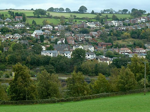
![]() This Derbyshire based village is notable as the point where the River Amber joins the River Derwent. It's a great place for waterside walking with the Cromford Canal also running through the area. The village is notable for its railway heritage and for being located at the spot where the River Amber joins the River Derwent.
This Derbyshire based village is notable as the point where the River Amber joins the River Derwent. It's a great place for waterside walking with the Cromford Canal also running through the area. The village is notable for its railway heritage and for being located at the spot where the River Amber joins the River Derwent.
This circular walk starts from the train station and takes you along the canal before visiting the nearby Shining Cliff Woods.
From the station you can pick up the Derwent Valley Heritage Way and follow this waymarked footpath north along the River Derwent and the canal to Whatsandwell. Cross the bridge here and follow a country lane round to Alderwasley Park before coming to the woods. There's miles of peaceful trails with woodland birds and bluebells to see in the springtime.
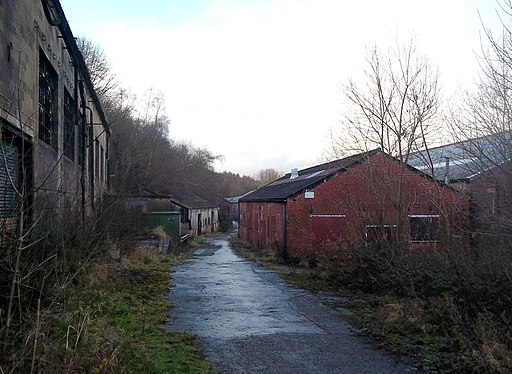
The route then passes the Oakhurst Mills before crossing the bridge and returning to Ambergate.
Ambergate Ordnance Survey Map  - view and print off detailed OS map
Ambergate Open Street Map  - view and print off detailed map
Ambergate OS Map  - Mobile GPS OS Map with Location tracking
Ambergate Open Street Map  - Mobile GPS Map with Location tracking
Walks near Ambergate
- Shining Cliff Woods - Enjoy waymarked walking trails through this peaceful woodland near Ambergate
- Cromford Canal - Enjoy a waterside stroll along the Cromford Canal on this easy walk in Derbyshire
- Derwent Valley Heritage Way - Follow the River Derwent through the Derbyshire Peak District on this stunning walk
- Around Belper - This long circular walk makes use of two of the waymarked long distance trails running through the countryside surrounding the Derbyshire town of Belper
- Lumsdale Valley - This splendid walk takes you from Matlock to the beautiful wooded gorge of the Lumsdale Valley
- Matlock - The county town of Matlock is a great base for exploring the south eastern edge of the Peak District
- Wirksworth - This circular walk around the Derbyshire town of Wirksworth uses various footpaths to visit some of the highlights of the area.
Starting in the town you head north and pick up the High Peak Trail to take you up to the Black Rocks around Cromford - Heights of Abraham - Ride a cable car to the Hilltop Park and enjoy magnificent views of the Derwent Valley and surrounding Peak District at this major attraction in Matlock
- Duffield - This Derbyshire based town has some nice riverside trails, the remains of an old castle and a fine heritage railway to enjoy
- Little Eaton - This Derbyshire based village is a pleasant place for a walk with riverside trails and the expansive Allestree Park park to explore.
- High Tor Matlock - This short climb takes you to High Tor hill between Matlock and Matlock Bath. The impressive limestone crag is just over a mile from the town centre and the train station
- Crich - This pretty village in Derbyshire is known as the location for the setting for the ITV series Peak Practice and the Crich Tramway Village.This circular walk from Crich visits some of the highlights of the area including the Cromford Canal, the River Derwent, the viewpoint at Crich Stand and the splendid Crich Tramway Village.
The walk starts in the centre of the village and heads west past Chasecliff Farm to the Cromford Canal - Whatstandwell - This Derbyshire based village is located on the River Derwent in the Amber Valley area of the county.
Pubs/Cafes
The Hurt Arms is a nice place to enjoy some post exercise relaxtion and refreshment. The pub dates to 1874 and includes an attractive modern interior with restaurant. There's also outdoor seating overlooking the cricket ground. You can find them at Derby Road with postcode DE56 2EJ for your sat navs.
Dog Walking
The canal and woodland trails are ideal for a dog walk. The Hurt Arms mentioned above is also dog friendly.
Photos
Cromford Canal at Whatstandwell. The bridge carries the B5035 over the long-disused canal, which is now an excellent wildlife refuge and has been declared a Site of Special Scientific Interest.
Turbulent River. Looking downstream from the bridge at Whatstandwell. The Derwent is in spate after a night of heavy rain. The turbulence is caused by the bridge piers.


