Ashby St Ledgers Walks
![]()
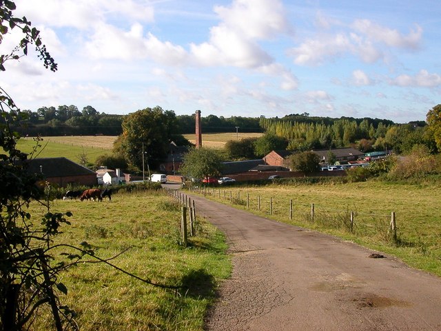
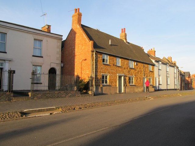
![]() This attractive village in Northamptonshire is famous for being the location for the planning of the Gunpowder Plot in 1605. The historic settlement is located close to the larger towns of Rugby and Daventry in the western part of the county.
This attractive village in Northamptonshire is famous for being the location for the planning of the Gunpowder Plot in 1605. The historic settlement is located close to the larger towns of Rugby and Daventry in the western part of the county.
This route from Ashby St Ledgers uses sections of the Jurassic Way and the Grand Union Canal Walk to create a circular walk through the surrounding area. You'll visit the neighbouring settlements of Braunston and Welton while enjoying some fine countryside views. There's also a long canalside section which will take you to the Braunston Tunnel and Drayton Reservoir. The walk can be extended at the southern end by visiting the lovely Daventry Country Park where you can enjoy waterside walks around the pretty reservoir.
Ashby St Ledgers Ordnance Survey Map  - view and print off detailed OS map
Ashby St Ledgers Open Street Map  - view and print off detailed map
Ashby St Ledgers OS Map  - Mobile GPS OS Map with Location tracking
Ashby St Ledgers Open Street Map  - Mobile GPS Map with Location tracking
Walks near Ashby St Ledgers
- Braunston to Whilton Locks - This walk visits the Whilton Locks flight on the Grand Union Canal near Daventry
- Drayton Reservoir - This walk visits Drayton Reservoir in Daventry, Northamptonshire.
- Daventry Country Park - Enjoy woodland, meadows and the lovely Daventry Reservoir on this waterside route in Northamptonshire
- Borough Hill Daventry - This circular walk follows a footpath around Borough Hill in Daventry
- Badby Woods - These pretty woods near Daventry have miles of good woodland trails to try
- Arbury Hill - A nice walk from Badby to Hellidon, passing Arbury Hill, the joint highest point of Northamptonshire
- Everdon Stubbs - These pretty woods near Daventry Country Park are a great place to see bluebells in the springtime
- Canons Ashby - This circular walk explores the gardens, parkland and countryside surrounding this Elizabethan manor house near Daventry.
- Draycote Water - Enjoy a circular waterside cycle or walk around the delightful Draycote Water Country Park near Rugby
- Napton on the Hill - This Warickshire based village is in a fine location for canal, country and lakeside walking
- Napton Reservoir - This walk visits Napton Reservoir near the village of Napton on the Hill in Warwickshire
- Rugby - This circular walk takes you around the Warwickshire town of Rugby, taking in the Oxford Canal and the Great Central Walk Nature Reserve.
Starting at the train station you head north east to pick up the canal - Crick - This Northamptonshire based village is located near Rugby in the western part of the county.
Further Information and Other Local Ideas
Just to the north you can pick up the Crick Canal Walk. This follows the Leicester Line of the Grand Union Canal to Weford.
Photos
Ashby St Ledgers Manor House. In the room above the Gatehouse, with its privacy from the main house and clear view of the surrounding area, Robert Catesby, his servant Thomas Bates and the other conspirators are said to have planned a great deal of the Gunpowder Plot.


