Blewbury - Churn Hill - East Illsley Down Walk
![]()
![]() This attractive Oxfordshire based village is surrounded by public footpaths taking you to some lovely countryside and hills.
This attractive Oxfordshire based village is surrounded by public footpaths taking you to some lovely countryside and hills.
This circular walk from the village climbs to Churn Hill before visiting Blewbury Down and East Ilsley Down.
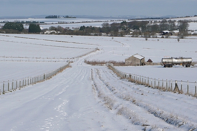
The walk starts in the village and heads south to climb to Churn Hill and Church Knob. The hill stands at a heigh of 160 metres providing fine views back to the village and over the surrounding area. The route then continues south passing a dismantled railway before reaching Blewbury Down. You have the option of extending the walk by descending into the neighbouring village of East Ilsley. This walk turns north to cross Compton Downs before follow a bridleway path back to Blewbury.
Blewbury-Churn-Hill-East-Illsley-Down Ordnance Survey Map  - view and print off detailed OS map
Blewbury-Churn-Hill-East-Illsley-Down Open Street Map  - view and print off detailed map
Blewbury-Churn-Hill-East-Illsley-Down OS Map  - Mobile GPS OS Map with Location tracking
Blewbury-Churn-Hill-East-Illsley-Down Open Street Map  - Mobile GPS Map with Location tracking
Cycle Routes and Walking Routes Nearby
Photos
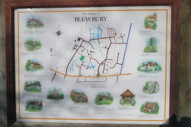
Blewbury Green. A notice and information board, a bench, a monument and a few trees. But from the map on the information board Blewbury is far more interesting than just that.
Churn Knob. The knob is a tumulus. The cross is there because the roots of Christianity in Wessex can purportedly be traced to here. Apparently St Birinus, who had been sent by Pope Honorius I in 634, first met King Cynegils of Wessex on this site. Nowadays an annual pilgrimage takes place from here to Dorchester Abbey at Dorchester-on-Thames (about 12 miles).
Churn Hill. The top is circled by a gallop and crowned with a clump of trees, a mast and a covered reservoir.


