Letcombe Regis Walks
![]()
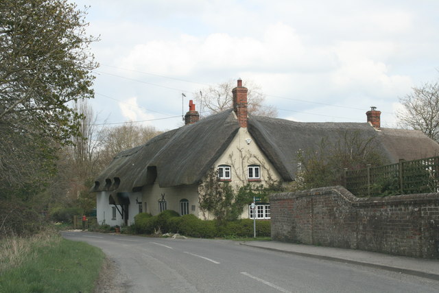
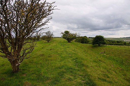
![]() This Oxfordshire based village includes a pleasant local nature reserve and a noteworthy Iron Age hill fort on the Ridgeway National Trail.
This Oxfordshire based village includes a pleasant local nature reserve and a noteworthy Iron Age hill fort on the Ridgeway National Trail.
This circular walk from the village takes you through the Letcombe Valley Nature Reserve to Letcombe Bassett before heading south to pick up the The Ridgeway and visit Segsbury or Letcombe Castle Hill Fort.
The walk starts in the village and starts by heading south past Letcombe Manor and the Letcombe Brook. Follow the brook south west and it will take you to Letcombe Bassett, passing through a secluded nature reserve on the way. There are some handy information plaques telling you all about the flora and fauna you can see around the brook.
At the end of the reserve you head south to link up with the Ridgeway around Smith's Hill Farm. Follow the waymarked footpath east and you will soon come to the hill fort where there are some splendid views over the area.
From the fort you can then head north along the Warborough country lane which will take you back into the village.
Postcode
OX12 9RQ - Please note: Postcode may be approximate for some rural locationsLetcombe Regis Ordnance Survey Map  - view and print off detailed OS map
Letcombe Regis Open Street Map  - view and print off detailed map
Letcombe Regis OS Map  - Mobile GPS OS Map with Location tracking
Letcombe Regis Open Street Map  - Mobile GPS Map with Location tracking
Pubs/Cafes
After your walk you can enjoy refreshments at The Greyhound Inn. The 18th century inn serves hoog quality dishes and has a nice garden area to relax in. You'll find the inn on the main street at postcode OX12 9JL for your sat navs.
Dog Walking
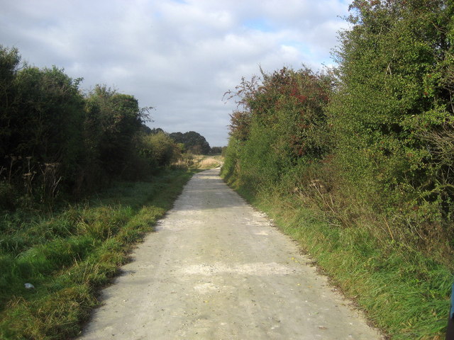
The country and woodland trails make for a fine dog walk. The Greyhound mentioned above is also dog friendly.
Further Information and Other Local Ideas
Just to the east you can visit the neighbouring settlements of Ardington and Wantage. A few miles to the west is the interesting historical site at Wayland's Smithy.
For more walking ideas in the area see the North Wessex Downs Walks and the Oxfordshire Walks pages.
Cycle Routes and Walking Routes Nearby
Photos
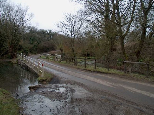
River exiting old watercress beds. This is the eastern end of the watercress beds. The river cuts a small valley as it heads north east towards Letcombe Regis.

