Brentford Canal Walk
![]()
![]() A walk along the Grand Union Canal from Brentford to Minet Country Park and Lake Farm Country Park in Hillingdon.
A walk along the Grand Union Canal from Brentford to Minet Country Park and Lake Farm Country Park in Hillingdon.
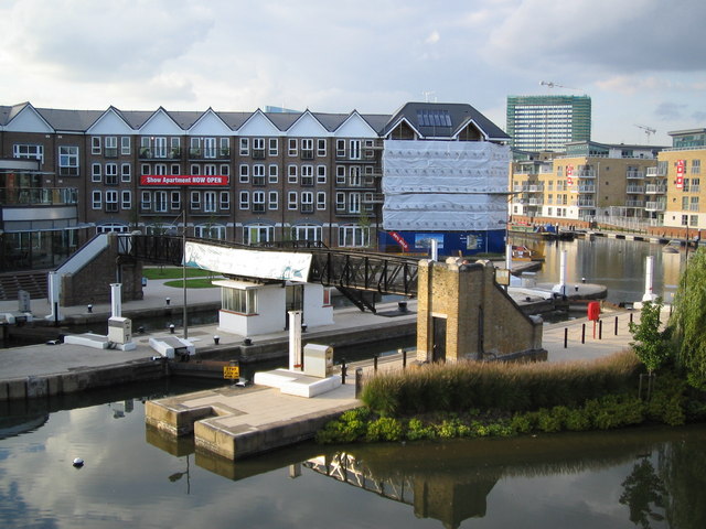
Start the walk from Brentford Dock and the marina in Brentford. It's located just to the south of the train station and on the opposite side of the Thames from Kew Gardens.
From the marina you head west towards Syon Park where there's 200-acres of parkland and gardens to explore.
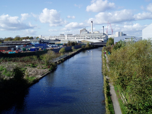
The canal then bends round to the north west towards Hanwell and Norwood Green. You'll pass close to Osterley Park where there's some lovely parkland and gardens to explore.
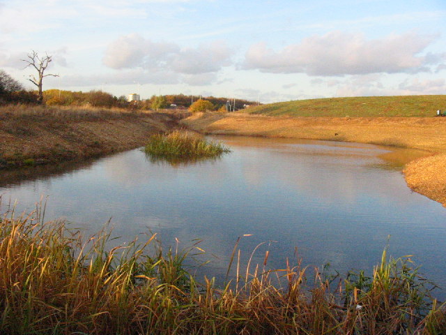
From Norwood Green the walk heads west through North Hyde to Hillingdon where you will pass Minet Country Park. The park includes ponds, grassland and a variety of wild plants and flowers. You can also pick up the long distance Hillingdon Trail here and follow it towards the pretty Yeadling Brook.
This route continues west to Hayes where it finishes at Lake Farm Country Park. Here you can enjoy meadows, open grassland and a trim trail.
Brentford Canal Walk Ordnance Survey Map  - view and print off detailed OS map
Brentford Canal Walk Open Street Map  - view and print off detailed map
Brentford Canal Walk OS Map  - Mobile GPS OS Map with Location tracking
Brentford Canal Walk Open Street Map  - Mobile GPS Map with Location tracking
Further Information and Other Local Ideas
Also in Hillingdon is the popular Celandine Route. The trail runs along the River Pinn from Cowley to Pinner. It is named after the pretty Lesser Celandine flowers you can see on the walk.
Just to the north there's leafy Ealing where there's nice trails around Ealing Common and the historic Walpole Park.
Cycle Routes and Walking Routes Nearby
Photos
Three Bridges, Southall. 3 different modes of transport pass here... This was Isambard Kingdom Brunel's last major engineering project and opened in 1859.
Pond, Minet Country Park. The Minet Country Park is newly created from a derelict area used partly as car boot sale, & for motor cycle scrambling. It is now an attractive country park. Its features include a cycle track, children's playground, lodge, & areas that make it a nature reserve appreciated by many bird species & other wild life.


