Strumpshaw Fen Walk
![]()
![]() This walk visits the RSPB'S Strumpshaw Fen Nature Reserve in the Norfolk Broads, west of Strumpshaw village.
This walk visits the RSPB'S Strumpshaw Fen Nature Reserve in the Norfolk Broads, west of Strumpshaw village.
The reserve is located just east of Brundall and includes a number of pleasant footpaths with lots of birdlife to look out for.
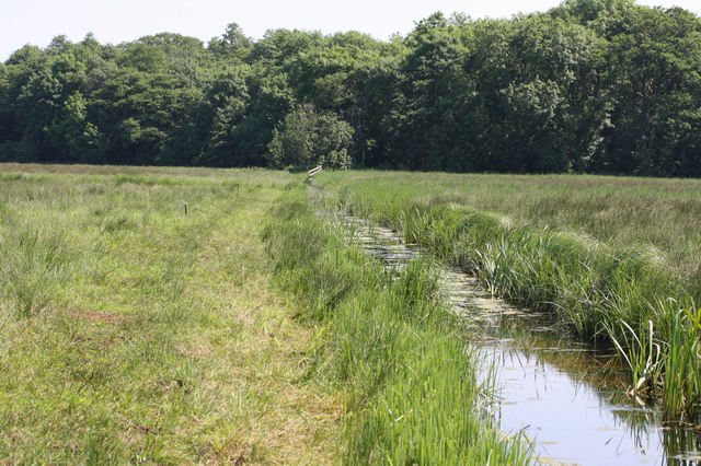
There's much to enjoy with riverside paths along the River Yare and some pretty lakes and pools on Strumpshaw Marsh. Keep your eyes peeled for a large variety of wildlife including Bittern, Cetti's Warbler, Marsh Harrier and Kingfisher. Habitats at the site include reedbeds, woodlands and orchid-rich meadows.
To continue your nature reserve walking in the area head west to visit the RSPB Church Marsh Nature Reserve at nearby Surlingham on the edge of the lovely Surlingham Broad. Here you can also pick up the Bramerton Riverside Walk and visit the popular Water's Edge Pub with its riverside decking area.
Postcode
NR13 4HS - Please note: Postcode may be approximate for some rural locationsStrumpshaw Fen Ordnance Survey Map  - view and print off detailed OS map
Strumpshaw Fen Open Street Map  - view and print off detailed map
Strumpshaw Fen OS Map  - Mobile GPS OS Map with Location tracking
Strumpshaw Fen Open Street Map  - Mobile GPS Map with Location tracking
Further Information and Other Local Ideas
A few miles to the north east there's Burlingham where you can explore the peaceful trails around Burlingham Woods. It's a lovely place for a stroll with carpets of snowdrops in Ferbruary and lots of bluebells in the spring months. There's also the interesting ancient ruins of the 14th century St Peter church to see here.
For more walking ideas in the area see the Norfolk Broads Walks page.
Cycle Routes and Walking Routes Nearby
Photos
Strumpshaw Fen RSPB. A view from the Fen Hide. The white triangle is the top of the sail of a boat on the River Yare. Despite the proximity of the river the reserve is isolated hydrologically from the river due to the level of pollution in the river. There are increasingly frequent flood events due to tidal surges up the river, leading to salty water entering the reedbed and killing many of the freshwater fish.


