Builth Wells Walks - Near and Around
![]()
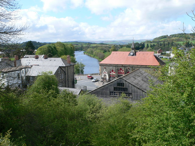
![]() This small market town in Powys has some nice river trails and a pleasant local park to stroll through. There's also a noteworthy 14th century pub and the remains of the castle which was once one of Edward I’s most important fortresses.
This small market town in Powys has some nice river trails and a pleasant local park to stroll through. There's also a noteworthy 14th century pub and the remains of the castle which was once one of Edward I’s most important fortresses.
The plethora of walking options in the wonderful Brecon Beacons and Cambrian Mountains are also not far away from the town.
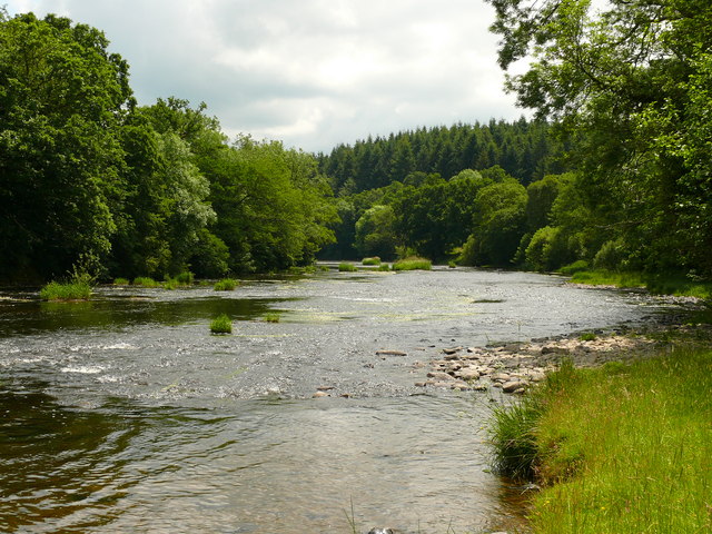
This riverside walk from takes you along a lovely section of the Wye Valley Walk from Builth to the neighbouring town of Newbridge on Wye.
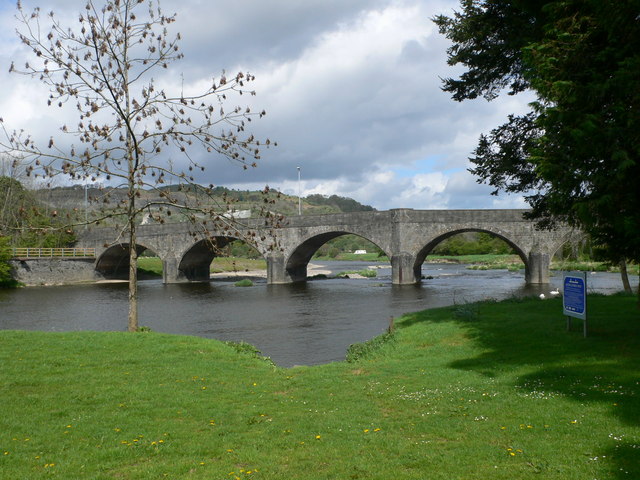
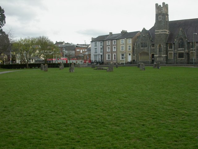
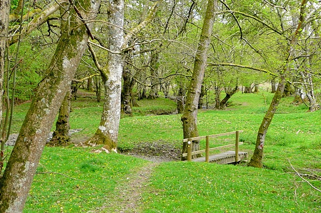
The walk starts in the town near to the photogenic bridge and the Groe, a pleasant riverside park in the town. There's car parking here, nice easy footpaths and the Gorsedd Circle to see here. In the park you can pick up the waymarked Wye Valley footpath and follow it north to Pen-ddol Rocks and Wye Bridge. You continue north past Goytre Wood and Estyn Wood before crossing the river and finishing in Newbridge.
Postcode
LD2 3BS - Please note: Postcode may be approximate for some rural locationsBuilth Wells Ordnance Survey Map  - view and print off detailed OS map
Builth Wells Open Street Map  - view and print off detailed map
Builth Wells OS Map  - Mobile GPS OS Map with Location tracking
Builth Wells Open Street Map  - Mobile GPS Map with Location tracking
Walks near Builth Wells
- Epynt Way - A circular cycling and walking route on lanes and bridleways within the boundary of the MOD's busy Sennybridge Army Training Area
- Wye Valley Walk - This walk takes you through the beautiful Wye Valley in Gloucestershire, Herefordshire and Wales.
The walk begins on the mouth of the River Wye at Chepstow Castle in Monmouthshire and follows the River Wye north to Monmouth, passing the fascinating ruins of Tintern Abbey on the way - Usk Reservoir - Follow the circular cycling and walking trail around the beautiful Usk Reservoir on this route in the Brecon Beacons National Park
- Elan Valley Reservoirs - This waterside cycling and walking route takes you through the beautiful Elan Valley in Powys
- Llandrindod Wells - This circular walk takes you around the victorian spa town of Llandrindod Wells in the Cambrian Mountains
- Rhayader - This mid Wales town in the Cambrian Mountains has some lovely walking through the Wye and Elan Valleys
- Heart of Wales Line Trail - This long distance trail runs from Craven Arms in Shropshire to Llanelli in South Wales
- LLanwrtyd Wells - This settlement in Powys is notable as the smallest town in Britain
- Talgarth - This ancient market town sits on the edge of the Black Mountains in the Brecon Beacons National Park.
- Bronllys - This walk visits Bronllys Castle just south of the village of Bronllys in Powys
- Rhayader Dams - This popular walk takes you from the town of Rhayader to the wonderful Elan Valley Reservoirs and the series of imposing dams.
Pubs/Cafes
The Fountain Inn is a good choice for post walk refreshment in the town. The historic pub dates all the way back to the 14th century and includes an attractive garden area overlooking the river. It's a lovely place to relax after your exercise. You can find them on Broad Street at postcode LD2 3DT for your sat navs.
Dog Walking
The river and woodland trails on the route make for a fine dog walk. The Fountain Inn mentioned above also welcomes dogs.
Further Information and Other Local Ideas
A few miles to the south west you can pick up the Epynt Way. This shared cycling and walking trail takes you around Mynydd Epynt in the MOD's Sennybridge Army Training Area.
The Heart of Wales Line Trail passes through the town. The 143 mile trail explores the Heart of Wales Railway Line, a wonderful rural railway running between Swansea and Shrewsbury. The trail visit several train stations, old railway lines and photogenic railway viaducts. Follow the waymarked trail south west and it will take you to Llangammarch Wells and LLanwrtyd Wells. Heading north will take you to Newbridge-on-Wye and Llandrindod Wells.
For more walking ideas in the area see the Brecon Beacons Walks and Cambrian Mountains Walks pages.
