Castle Hill Nature Reserve Walk
![]()
![]() This circular walk visits the Castle Hill National Nature Reserve on the eastern outskirts of Brighton in the South Downs National Park.
This circular walk visits the Castle Hill National Nature Reserve on the eastern outskirts of Brighton in the South Downs National Park.
There's miles of good walking trails taking you across the chalk grassland with ancient settlements and glorious views to the coast.
In the summer months there's lots of lovely wildflowers with wildlife including the Lesser Whitethroat and Fulmars at the cliffs in the local nature reserve near Newhaven.
You can start the walk from the car park just to the south of Falmer. Then pick up the trails heading east to Newmarket Hill and Cold Coombes. You continue round Balsdean Bottom and Standean Bottom before passing Bullock Hill and returning to the car park.
The South Downs Way crosses the reserve. You could follow the trail east to visit Iford, Rodmell and the River Ouse.
There's also the Castle Hill Local Nature Reserve to the south east in Newhaven. See the video below for more details of this smaller, coastal site.
Postcode
BN9 9DS - Please note: Postcode may be approximate for some rural locationsCastle Hill Nature Reserve Ordnance Survey Map  - view and print off detailed OS map
Castle Hill Nature Reserve Open Street Map  - view and print off detailed map
Castle Hill Nature Reserve OS Map  - Mobile GPS OS Map with Location tracking
Castle Hill Nature Reserve Open Street Map  - Mobile GPS Map with Location tracking
Cycle Routes and Walking Routes Nearby
Photos
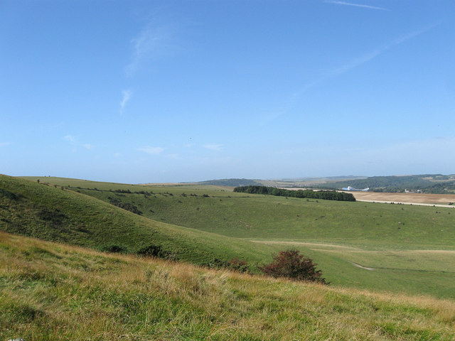
Cold Coombes. The reserve includes many rare and special plant species. These attract butterflies such as adonis, small and chalkhill blue, clouded yellow and dark green fritillary.
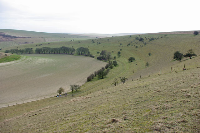
Standean Bottom. A bridleway follows the line of trees at the bottom of the hill. All of the slope is open access downland.
Falmer Bottom. A good view to illustrate the vagaries of the selection of CROW public access land. The criterion should be down: unimproved grassland. The foreground fields up to the fence with the single tree are public - but certainly rather improved. The near shoulder on the right is not CROW-public but is unimproved (although possibly partly ploughed in the past). The far shoulder on the right is correctly public and unimproved. Both shoulders are in the Castle Hill NNR. The slopes on the left are correctly selected as public access unimproved downland. However, the non-CROW part of the NNR is now mapped as access land under some other non-CROW arrangement.


