Caterham Viewpoint Walk
![]()
![]() This Surrey town is located near Woldingham and Warlingham in the Tandridge district of the county.
This Surrey town is located near Woldingham and Warlingham in the Tandridge district of the county.
Local walking highlights include the circular Woldingham Countryside Walk which explores the North Downs to the south and east of the town. It additionally visits Botley Hill, the highest point of the Downs.
To the west is the Coulsdon South Circular Walk where you can explore the popular Farthing Downs.
This walk from the town uses part of the London Loop and the North Downs Way to visit the Gravelly Hill viewpoint, Happy Valley and Farthing Downs.
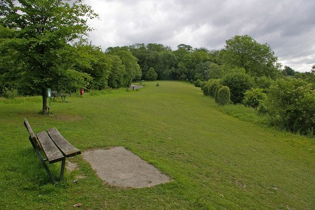
You can start off from the car park at the Gravelly Hill Caterham viewpoint which lies just to the south of the town. There's some nice trails around the hill and into the surrounding Old Park Wood. You can then follow the North Downs Way north west through the Caterham Valley to Quarry Hangers Nature Reserve, Chaldon, Happy Valley and Farthing Downs where there are some lovely woodland trails and countryside views to enjoy.
Postcode
CR3 6TH - Please note: Postcode may be approximate for some rural locationsCaterham Ordnance Survey Map  - view and print off detailed OS map
Caterham Open Street Map  - view and print off detailed map
*New* - Walks and Cycle Routes Near Me Map - Waymarked Routes and Mountain Bike Trails>>
Caterham OS Map  - Mobile GPS OS Map with Location tracking
Caterham Open Street Map  - Mobile GPS Map with Location tracking
Further Information and Other Local Ideas
In neighbouring Warlingham you could pay a visit to the Blanchman's Farm Local Nature Reserve. The reserve includes a nature trail, two summer meadows, a pond, a central wooded area, hazel coppice, a newly planted orchard and horse grazing. It's a nice place to look out for wildlife in the local area.
Cycle Routes and Walking Routes Nearby
Photos
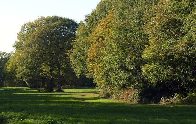
Quarry Hangers Nature Reserve. Owned by the Surrey Wildlife Trust. An unimproved meadow in the foreground with downland on the North Downs scarp behind.


