Charnwood Forest Walk
![]()
![]() This long circular walk explores the parks, woodland, hills, nature reserves and countryside in the attractive Charnwood Forest area of Leicestershire. There's much to enjoy with some challenging climbs, great views and a series of pretty towns and villages. There's also popular areas of woodland with pretty bluebells in the spring.
This long circular walk explores the parks, woodland, hills, nature reserves and countryside in the attractive Charnwood Forest area of Leicestershire. There's much to enjoy with some challenging climbs, great views and a series of pretty towns and villages. There's also popular areas of woodland with pretty bluebells in the spring.
The walk starts in the village of Newtown Linford and heads through Bradgate Country Park where you will find 830 acres of parkland and woodland. There's also a deer park with herds of red and fallow deer, a waterside path along Cropston Reservoir and the ruins of the 16th century Bradgate House.
After leaving the park you head north towards Woodhouse Eaves where you will pass through Broombriggs Country Park and the splendid Beacon Hill Country Park. In the park you can climb to the 248m (814 feet) high Beacon Hill which is the second highest point in Leicestershire and the site of a Bronze Age hill fort.
The route then heads west towards Charley Hall where you turn south to Bardon Hill. At 912 feet (278 m) Bardon Hill is the highest point in the county and commands wonderful views towards the Malverns, Shropshire Hills and the Peak District in Derbyshire.
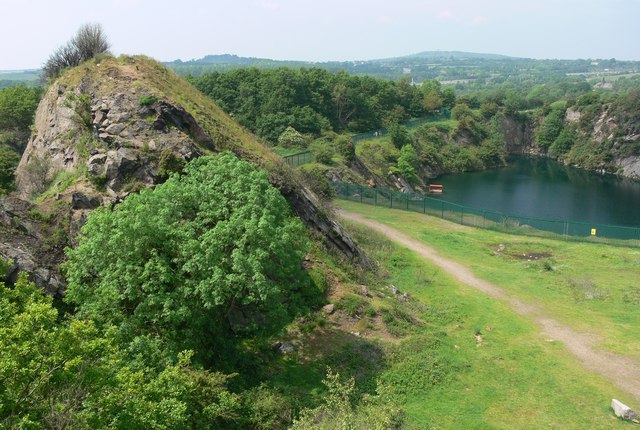
The route then passes a series of quarries before coming to the village of Markfield. The final section takes you through woodland to the finish point back at Newtown Linford.
Part of the walk makes use of the Leicestershire Round. You can extend your walking in the area by picking up this long distance trail. Other highlights of the forest include Thornton Reservoir, Blackbrook Reservoir, Grace Dieu Priory and the fascinating Cistercian monastery of Mount St Bernard Abbey near Whitwick.
Around Woodhouse Eaves you will pass the lovely Swithlands Wood and Swithland Reservoir where you can look out for a variety of water loving birdlife on the water.
Charnwood Forest Ordnance Survey Map  - view and print off detailed OS map
Charnwood Forest Open Street Map  - view and print off detailed map
Charnwood Forest OS Map  - Mobile GPS OS Map with Location tracking
Charnwood Forest Open Street Map  - Mobile GPS Map with Location tracking
Further Information and Other Local Ideas
Just to the south of Bradgate Park you'll find the secluded Groby Pool. The small lake is a good place for wildlife watching and also includes some adjacent bluebell woods. The woodland trust's Martinshaw Wood is located about half a mile south west from here too. It's another peaceful local place for bird watching and easy trails.
Cycle Routes and Walking Routes Nearby
Photos
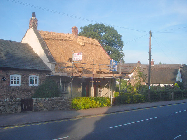
New thatch at Newtown Linford. One of several thatched cottages in this rather 'up-market' village. This one on Main Street is being re-thatched, a marked contrast in colour to the weathered thatch of the cottage on the right.
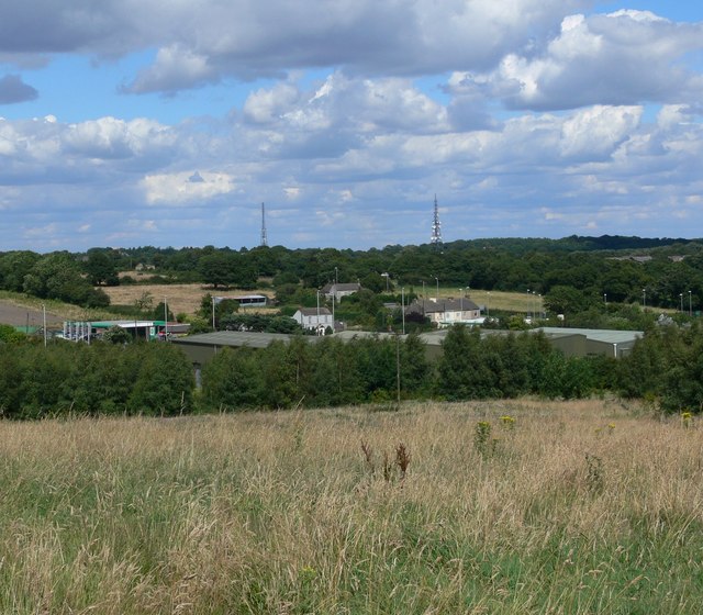
Billa Barra Hill. A view from Billa Barra Local Nature Reserve towards the two radio masts at Copt Oak.


