Mount St Bernard Abbey Walks
![]()
![]() Visit this Cistercian monastery near Coalville on this short walk. It's a delightfully peaceful place and one of the highlights of the Charnwood Forest.
Visit this Cistercian monastery near Coalville on this short walk. It's a delightfully peaceful place and one of the highlights of the Charnwood Forest.
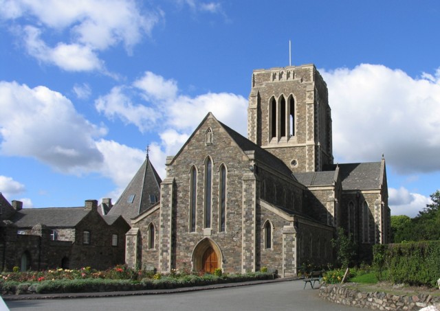
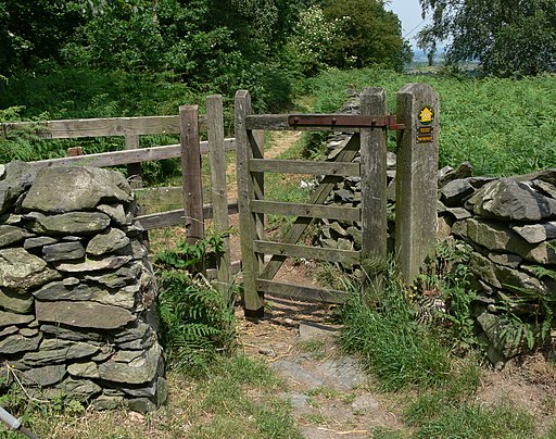
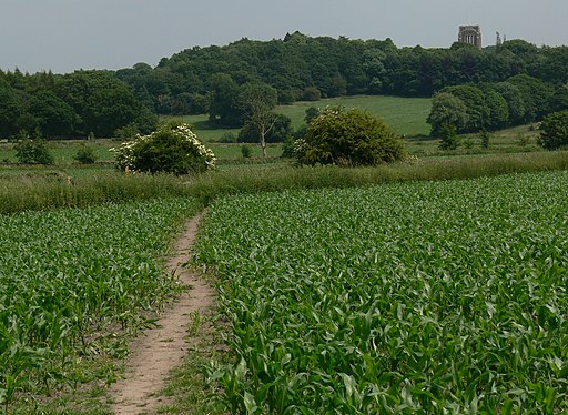
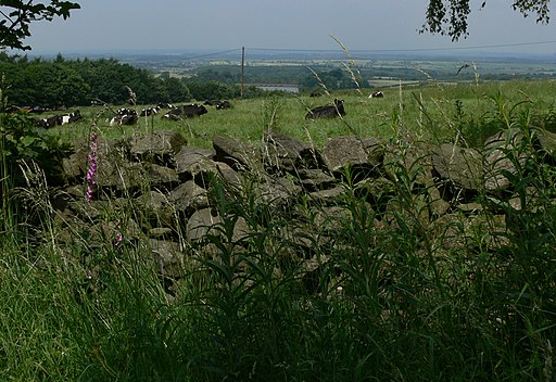
The Abbey grounds are just a short stroll from the village of Whitwick. You can follow footpaths past Whitwick Quarry through woodland and countryside to the abbey. Here you can explore the grounds with its beautiful gardens, visit the church and walk up to the cross at 'Calvary'. From the elevated position of the cross there's lovely views over the area. There's also a well stocked shop with pottery made by the monks in the Abbey Pottery.
You can continue your walk to the nearby Blackbrook Reservoir, located just to the north of the site.
The Ivanhoe Way long distance trail also passes nearby. You can pick this up and head south to the highest point in the county at Bardon Hill.
You can further explore the area by picking up the Charnwood Forest circular walk which will take you on a tour of the countryside, reservoirs, woodland and hills of this lovely area.
The nearest major town is Coalville which is located about 2 miles south west of the site.
Postcode
LE67 5UL - Please note: Postcode may be approximate for some rural locationsPlease click here for more information
Mount St Bernard Abbey Ordnance Survey Map  - view and print off detailed OS map
Mount St Bernard Abbey Open Street Map  - view and print off detailed map
Mount St Bernard Abbey OS Map  - Mobile GPS OS Map with Location tracking
Mount St Bernard Abbey Open Street Map  - Mobile GPS Map with Location tracking
Further Information and Other Local Ideas
Nearby you'll find another local historic landmark at the 13th century Grace Dieu Priory. The anicent ruins of the priory are surrounded by some pleasant woodland with trails along the Grace Dieu brook. It's located just a couple of miles to the north west so a good idea is to visit both ancient sites on the same walk.
Also near Coalville there's some peaceful woodland trails and a series of pretty lakes to see at Queen Elizabeth Diamond Jubilee Wood, Bagworth Heath Woods and Sence Valley Forest Park.
For more walking ideas in the area see the Leicestershire Walks page.
Cycle Routes and Walking Routes Nearby
Photos
Mount Saint Bernard's Abbey. The Abbey was founded in 1835 and was the first Roman Catholic abbey to be founded in England since Henry VIII implemented the Dissolution in the 1530s.


