Churnet Valley
![]()
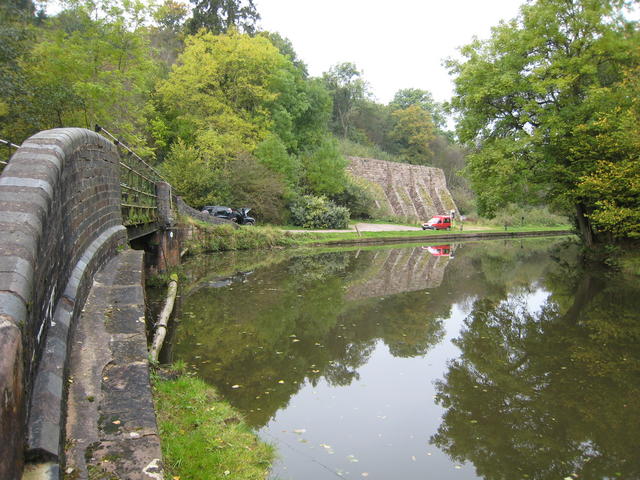
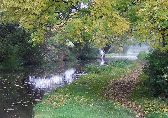
![]() This walk takes you through Staffordshire's beautiful Churnet Valley from Froghall to Cheddleton. The route follows the Caldon Canal and the River Churnet between the two towns with some stunning scenery to enjoy.
This walk takes you through Staffordshire's beautiful Churnet Valley from Froghall to Cheddleton. The route follows the Caldon Canal and the River Churnet between the two towns with some stunning scenery to enjoy.
The walk starts at Froghall Wharf on the Caldon Canal. You could also start from the Kingsley and Froghall Station on the Churnet Valley Railway. The station is located close to the canal and gives you the option of returning using the heritage railway.
The route falls the towpath round to Consall where it takes a detour from the canal to visit Consall Nature Park.
The lovely woods include a number of waymarked trails taking you to large ponds, streams and a more challenging climb to Kingsley Banks where there are wonderful views over the Churnet Valley.
After exploring the park the route returns to the canal and continues to Consall Forge where you can stop for refreshments at the canalside Black Lion Inn. There's great outdoor seating with views of the canal and the passing steam trains.
The canal continues into Cheddleton where you will find the Churnet Valley Railway centre and the train station where you can catch the train back to Froghall.
Churnet Valley Ordnance Survey Map  - view and print off detailed OS map
Churnet Valley Open Street Map  - view and print off detailed map
Churnet Valley OS Map  - Mobile GPS OS Map with Location tracking
Churnet Valley Open Street Map  - Mobile GPS Map with Location tracking
Pubs/Cafes
In Cheddleton there's the The Black Lion to visit. The friendly pub is located in a nice spot near St Edward's church and the old Flint Mill. They serve good food and have two outdoor seatings areas for warmer days. You can find them at Hollow Lane, ST13 7HP.
Further Information and Other Local Ideas
For an alternative route along the trail try the Denstone Railway Walk. This uses part of the railway path and the Staffordshire Way to create a circular walk around the village.
The Churnet Valley also has some nice country parks to visit near Cheddleton. Just to the west of the town you will find Deep Hayes Country Park. There's a number of waymarked trails with 143 acres of woods, meadows, canals and pools to explore here.Ladderedge Country Park is just to the north and can be reached by following the Staffordshire Way log distance trail. The park has good footpaths with views of the River Churnet and the Peak District to enjoy.
If you continue north on the Staffordshire Way you could also visit Rudyard Lake near Leek. There's more nice waterside trails to try here.
Heading south will take you to the Hawksmoor Nature Reserve and then into Dimmingsdale. This delightful wooded valley is a real highlight of the area, with its streams, pools and wide variety of flora and fauna.
The Weaver Hills are located to the east and provide wonderful views over the valley.
If you are looking for a cycle ride try our Churnet Valley Cycle Route which runs along a disused railway line from Denstone to Oakamoor.
Just east of Cheddleton there's the delightful Coombes Valley RSPB Nature Reserve. There's some lovely trails here through oak woodland and along the pretty Coombes Brook which runs through the reserve. There's also bird hides where you can look out for a variety of different species.
For more walking ideas in the area see the Staffordshire Walks page.


