Cleobury Mortimer and the River Rea Walk
![]()
![]() This picturesque market town in Shropshire has some pleasant walks along the River Rea. It is notable as one of the smallest towns in Shropshire, and was granted its market charter in 1253.
This picturesque market town in Shropshire has some pleasant walks along the River Rea. It is notable as one of the smallest towns in Shropshire, and was granted its market charter in 1253.
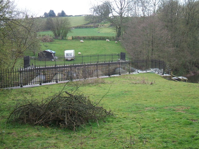
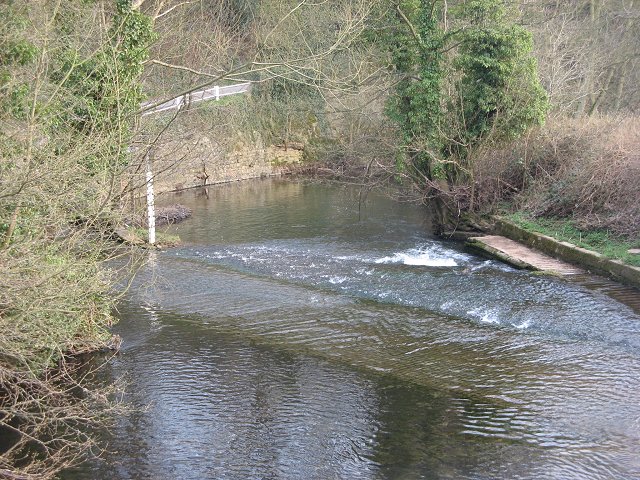
This circular walk from the town takes you north to Ron Hill and Neen Savage, following the route of the River Rea. The route then returns on bridle tracks just to the east of the river.
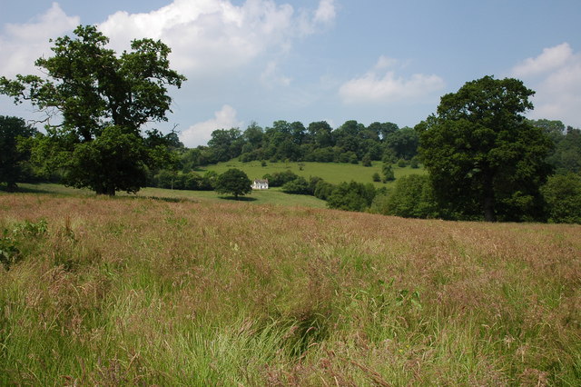
The route runs for about 2 miles on fairly flat paths with nice river and country views on the way.
Cleobury Mortimer Ordnance Survey Map  - view and print off detailed OS map
Cleobury Mortimer Open Street Map  - view and print off detailed map
Cleobury Mortimer OS Map  - Mobile GPS OS Map with Location tracking
Cleobury Mortimer Open Street Map  - Mobile GPS Map with Location tracking
Pubs/Cafes
The Stable Tavern is a good choice for some refreshments after your walk. The old pub includes timbers of the 16th century stables which once formed part of the hotel fronting the square during that period. They do great food and also have an outdoor area for finer days. You can find the pub at 1 Talbot Square with a postcode of DY14 8BQ for your sat navs.
Dog Walking
The river and country trails make for a nice dog walk and the Stable Tavern mentioned above is also dog friendly.
Further Information and Other Local Ideas
The town is located a few miles west of the expansive Wyre Forest where you'll find miles of good walking and cycling trails and the pretty Button Oak Meadow Nature Reserve.
Also to the east you can pick up the Severn Way and enjoy riverside walk around Bewdley and Stourport. The waymarked Ribbesford Circular Walk can also be picked up in this area.
The Clee Hills are also nearby and provide some more challenging walking opportunities.
The epic Jack Mytton Way passes the village. The shared cycling and walking route runs along a bridleway through the Shropshire Hills, visiting several of the highlights.
For more walking ideas in the area see the Shropshire Walks page.
Cycle Routes and Walking Routes Nearby
Photos
Row of cottages, Cleobury Mortimer. An example of the quality of architecture in this lovely town. Note how the modern house fits in at the end. On the road leading to the Wyre Forest and Kidderminster on the eastern edge of town.
Royal Fountain Inn. The external character of the pub is replicated internally, complemented with well kept local beers.


