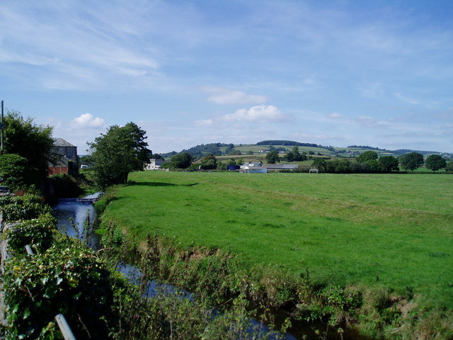
Colyton River Walk
![]()
![]() Colyton has some lovely walks through the River Coly Valley within the wider East Devon AONB. It's an attractive Saxon town with a number of historical buildings, an old Market Place and a popular heritage tramway to see.
Colyton has some lovely walks through the River Coly Valley within the wider East Devon AONB. It's an attractive Saxon town with a number of historical buildings, an old Market Place and a popular heritage tramway to see.
This walk from the town takes you along the River Coly before climbing to a nice viewpoint on Parehayne Hill above the town.
The circular walk starts in the town where you can pick up the East Devon Way and follow it west along the river. You will pass a weir and ford before coming to Heathhayne. The trail continues towards Barritshayes where you leave the river to follow country lanes north to Rockerhayne. Tracks then bend round to take you up to Crookham Cross and Parehayne Hill. There's fine views over the East Devon AONB towards Dorset and the coast from this elevated position.
From Parehayne you descend on country lanes to Carswells Moor on the Downhayne Brake Road. This will eventually lead you back to the river which you then follow east into the town.
Colyton Ordnance Survey Map  - view and print off detailed OS map
Colyton Open Street Map  - view and print off detailed map
Colyton OS Map  - Mobile GPS OS Map with Location tracking
Colyton Open Street Map  - Mobile GPS Map with Location tracking
Pubs/Cafes
The Kingfisher is a good choice for some post walk refreshments. They do good food and have a lovely large garden area to sit out in if the weather is fine. You can find the pub on Dolphin Street with a postcode of EX24 6NA for your sat navs.
Dog Walking
The river, country and woodland trails in the area make for a fine dog walk. The Kingfisher pub mentioned above is also dog friendly.
Further Information and Other Local Ideas
The Seaton Tramway is a great way to explore the countryside further. It operates narrow gauge heritage trams between Seaton, Colyford and Colyton. There's fine views of the Axe Valley and the Axe Estuary on this scenic attraction.
Another riverside footpath runs south from the town to the neighbouring village of Colyford. You can follow the East Devon Way north east from here up to the River Axe near Musbury. Also in Colyford you can pick up the Seaton Marshes Walk which follows the Seaton Tramway Walk from Seaton to Colyford through the attractive marshes. Here you can pick up the Seaton to Beer Walk and enjoy a hike along the Jurassic Coast.
A few miles to the north west you can pick up the Honiton Walk. It follows a section of the Exeter to Honiton Way to Ottery St Mary where there's some more river paths along the River Otter to try.
To the east you can enjoy walks through the Axe Valley on the Axminster Walk. The circular route strolls along the River Axe before climbing to a local nature reserve.
Head north from the town and you will soon come to the Blackdown Hills where there are more fine walking opportunites.
For more walking ideas in the area see the Devon Walks page.
Cycle Routes and Walking Routes Nearby
Photos
The original Grammar School, Colyton The stone building on the left of the picture, in Market Place.


