Culag Woods Walk
1.2 miles (2 km)
![]()
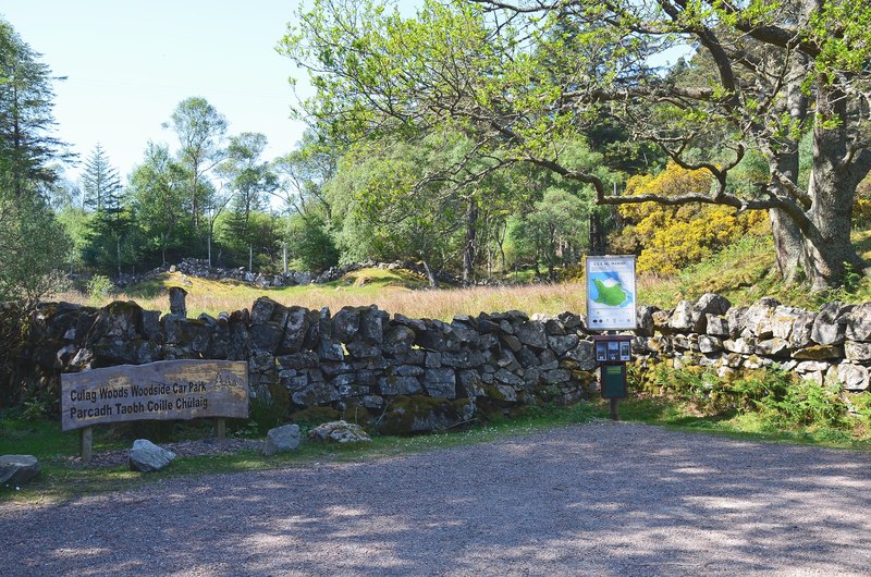
![]() This circular walk explores Culag Woods in Lochinver in the Assynt district of Sutherland, Highland.
This circular walk explores Culag Woods in Lochinver in the Assynt district of Sutherland, Highland.
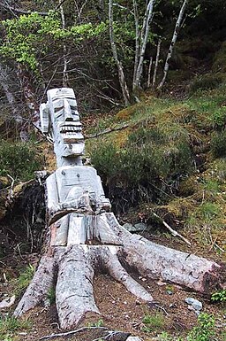
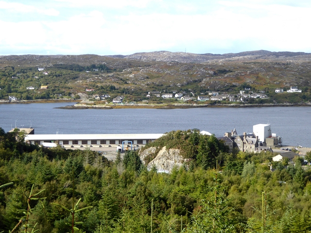
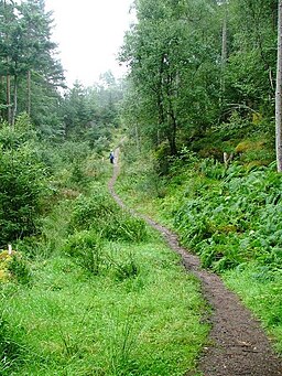
The woods are located just south of the village and include a number of peaceful woodland trails with sculptures to see on the way. At the northern end of the woods you can also enjoy a walk along the lovely Lochinver Harbour and the pebble beach. The centre of the site includes a small hill climb to a viewpoint with fine views over the village and harbour.
In the woods there are information boards and lots of wildlife to see too.
You can continue your walking by heading north to pick up the Lochinver River Walk along the River Inver.
Culag Woods Ordnance Survey Map  - view and print off detailed OS map
Culag Woods Open Street Map  - view and print off detailed map
Culag Woods OS Map  - Mobile GPS OS Map with Location tracking
Culag Woods Open Street Map  - Mobile GPS Map with Location tracking
Dog Walking
The woods are ideal for a dog walk so expect to see other owners on a fine day.


