Lochinver River Walk
![]()
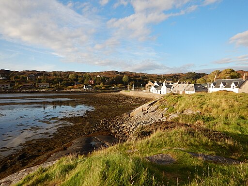
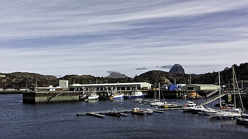
![]() This pleasant riverside walk takes you along the River Inver in the Assynt district of Sutherland, Highland.
This pleasant riverside walk takes you along the River Inver in the Assynt district of Sutherland, Highland.
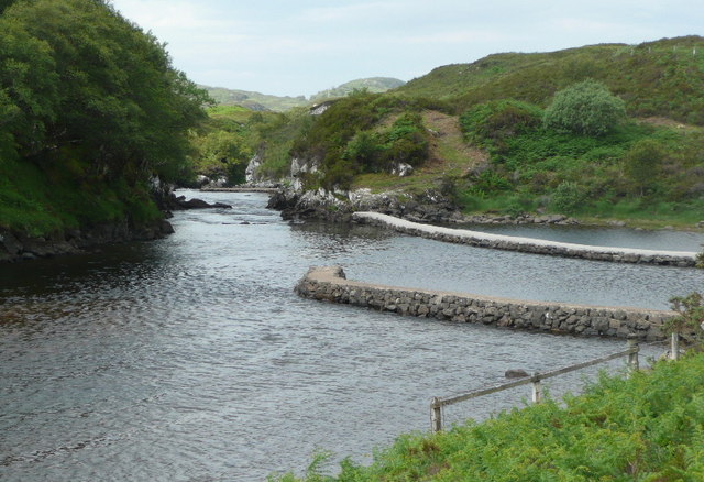
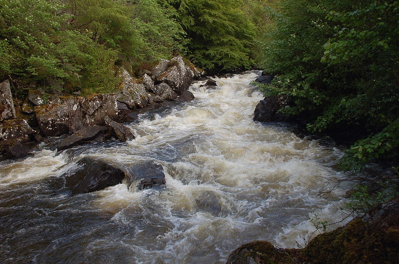
You can pick up the trail on Baddidaroch Road just north of the village which lies on the eastern side of Loch Inver. The path then heads east passing some attractive woodland and photogenic weirs.
There's also a wooden footbridge you can cross for views from the other side. As you proceed along the track there are also some fine views of the surrounding hills and countryside.
The river eventually flows into Loch Assynt, the source of the river. Near here you could extend your outing by visiting Eas a' Chual Aluinn, the highest waterfall in the UK.
Just south of the village there's the peaceful woodland trails around Culag Woods to try.
Postcode
IV27 4JA - Please note: Postcode may be approximate for some rural locationsLochinver River Walk Ordnance Survey Map  - view and print off detailed OS map
Lochinver River Walk Open Street Map  - view and print off detailed map
Lochinver River Walk OS Map  - Mobile GPS OS Map with Location tracking
Lochinver River Walk Open Street Map  - Mobile GPS Map with Location tracking
Walks near Lochinver
- Loch Assynt - This walk visits ruins of Ardvreck Castle on the shores of Loch Assynt near Lochinver, Sutherland
- Eas a' Chual Aluinn - This walk takes you to the highest waterfall in Britain
- Clashnessie Falls - This walk visits Clashnessie Falls and Clashnessie Bay in the Assynt area of Sutherland, on the north west coast of Scotland.
- Culag Woods - This circular walk explores Culag Woods in Lochinver in the Assynt district of Sutherland, Highland.
Further Information and Other Local Ideas
The splendid Knockan Crag Nature Reserve is well worth a visit. The site includes some spectacular limestone scenery with a variety of interesting plant species. There are also some lovely views of the adjacent Lochan an Ais to enjoy here.


