Dalbeattie Forest Walks
![]()
![]() This large area of woodland in in Dumfries and Galloway is a great place for walking and cycling.
This large area of woodland in in Dumfries and Galloway is a great place for walking and cycling.
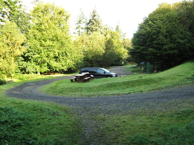
You can start the walk at the Dalbeattie Forest Town Wood car park at the northern end of the woods at postcode DG5 4QX. From here pick up trails heading east to visit the pretty Plantain Loch. On the way look out for red squirrels in the trees and grey herons around the water.
For cyclists there are some great seperate mountain bike trails to try. It's renowned for the challenging granite slabs and a fine single track, technical section as well as a good skills track. You can start off at the 7 stanes Dalbeattie car park at postcode DG5 4QU.
Postcode
DG5 4QX - Please note: Postcode may be approximate for some rural locationsPlease click here for more information
Dalbeattie Forest Ordnance Survey Map  - view and print off detailed OS map
Dalbeattie Forest Open Street Map  - view and print off detailed map
*New* - Walks and Cycle Routes Near Me Map - Waymarked Routes and Mountain Bike Trails>>
Dalbeattie Forest OS Map  - Mobile GPS OS Map with Location tracking
Dalbeattie Forest Open Street Map  - Mobile GPS Map with Location tracking
Walks near Dalbeattie
- Rockcliffe to Kippford Walk - This circular walk takes you from the National Trust's Rockcliffe to nearby Kippford in Dumfries and Galloway
- Mabie Forest - This expansive forest in Dumfries has miles of good walking paths and several mountain bike trails to try.
- Threave Gardens and Carlingwark Loch - This walk takes you from Castle Douglas to Carlingwark Loch and then on to the beautiful Threave Estate and Gardens.
- Kirkcudbright - This attractive town sits at the mouth of the River Dee in Dumfries and Galloway.
- Loch Arthur - This walk visits the Loch Arthur Community in Beeswing, Dumfries
- Balcary Bay Walk - This circular walk explores Balcary Bay at the southern end of Auchencairn Bay, overlooking Hestan Island on the Solway Firth
- Rascarrel Bay Walk - This coastal walk takes you along Rascarrel Bay on the Solway Firth.
- Torr Point Walk - This circular walk visits Torr Point at Auchencairn Bay on the Solway Firth
- Kirkconnel Flow Walk - This walk visits the Kirkconnel Flow Nature Reserve in Dumfries and Galloway.
- New Abbey to Criffel Circular Walk - This circular walk takes you to the excellent viewpoint at Criffel from the village of New Abbey in Dumfries and Galloway.
Further Information and Other Local Ideas
To continue your walking in the area head south to visit the National Trust's Rockcliffe.
Mabie Forest is also not far and has more good woodland trails and mtb tracks to try.
To the west is Threave Gardens and Carlingwark Loch where there's some beautiful gardens and a lochside trail with lots of wildlife to see.
To the west there's the lovely town of Kirkcudbright where there's some splendid art galleries and museums with pleasant walks along the River Dee.


