Sussex Diamond Way
![]()
![]() This is a fairly easy walk from West to East Sussex through heathland, farmland and forest. The walk runs from Midhurst to Heathfield and passes through Petworth, Billinghurst, Haywards Heath, Lindfield and Nutley. It was created by the Sussex Ramblers Association to celebrate their 60th anniversary.
This is a fairly easy walk from West to East Sussex through heathland, farmland and forest. The walk runs from Midhurst to Heathfield and passes through Petworth, Billinghurst, Haywards Heath, Lindfield and Nutley. It was created by the Sussex Ramblers Association to celebrate their 60th anniversary.
Highlights on the walk include Petworth Park which holds the 'National Trust's finest art collection displayed in a magnificent 17th century mansion within a beautiful 700-acre park'. This can be found on the first leg of the journey from Midhurst to Petworth.
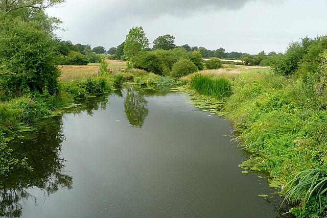
The walk also includes pleasant waterside sections along the River Arun near Billingshurst and then along the upper reaches of the River Ouse at Lindfield.
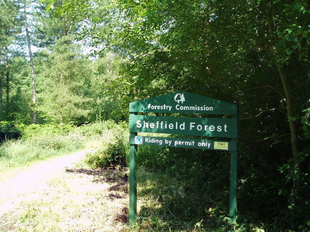
There are also several wooded sections including Flexham Park, Sheffield Forest and a number of other smaller woods dotted along the route.
Diamond Way Ordnance Survey Map  - view and print off detailed OS map
Diamond Way Open Street Map  - view and print off detailed map
Diamond Way OS Map  - Mobile GPS OS Map with Location tracking
Diamond Way Open Street Map  - Mobile GPS Map with Location tracking
Further Information and Other Local Ideas
For more walking ideas in the area see the Sussex Walks and the High Weald Walks page.
Cycle Routes and Walking Routes Nearby
Photos
Elevation Profile

GPS Files
GPX File
Diamond Way.gpx (On Desktop:Right Click>Save As. On Ipad/Iphone:Click and hold>Download Linked File)NB GPS file for this route only details route start - route is waymarked from there in


