Dudley Canal
![]()
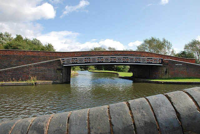
![]() Follow the Dudley Canal from Warren's Hill Park to Leasowes Park on this waterside walk through Blackheath and Halesowen in Birmingham. The route makes use of the Monarch's Way long distance footpath to link these two lovely open spaces.
Follow the Dudley Canal from Warren's Hill Park to Leasowes Park on this waterside walk through Blackheath and Halesowen in Birmingham. The route makes use of the Monarch's Way long distance footpath to link these two lovely open spaces.
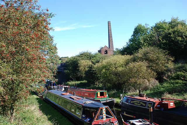
The walk starts at the car park at Warren's Hall Country Park in Sandwell. You then head through the park with its ponds, canals, grassland and small wooded areas. It's a lovely start to the walk with the park's footpaths leading to the canal. On the way you'll pass Cobb's Engine House. The eye catching building is a scheduled ancient monument and a Grade II listed building built around 1831. It housed a stationary steam pump used to pump water from Windmill End Colliery and other mines in the area.
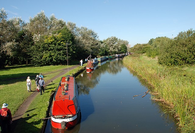
After passing through the park you pick up the canal path and head south through Old Hill and Coombeswood to Halesowen. Here the route finishes at the splendid Leasowes Park. The historically significant park consists of 141 acres of woodland, grassland, streams, waterfalls and large ponds. If you keep following the Monarch's Way south past the park you'll soon come to the atmospheric remains of Halesowen Abbey. The abbey is owned by English Heritage and was originally founded in 1215 under a grant from King John of England.
Dudley Canal Ordnance Survey Map  - view and print off detailed OS map
Dudley Canal Open Street Map  - view and print off detailed map
Dudley Canal OS Map  - Mobile GPS OS Map with Location tracking
Dudley Canal Open Street Map  - Mobile GPS Map with Location tracking
Further Information and Other Local Ideas
The route begins near the southern end of the Victorian Netherton Tunnel. You can walk (with a torch) through the dark tunnel to Dudley Port at the northern end.
Head west and you can visit the Netherton Reservoir and the Saltwells Nature Reserve where there are some peaceful woodland sculpture trails and lots of wildlife to see.
Just to the west you'll find two local walking highlights right next to each other at the 18th century Himley Hall and Baggeridge Country Park.
For more walking ideas in the area see the West Midlands Walks page.


