Earby Waterfalls Walk
![]()
![]() The Lancashire town of Earby is located near Colne and Barnoldswick on the Lancashire / Yorkshire border.
The Lancashire town of Earby is located near Colne and Barnoldswick on the Lancashire / Yorkshire border.
This circular walk from the settlement visits the lovely Earby Waterfalls Park before exploring the area surrounding the town. On the way you'll follow a section of the Pendle Way footpath and enjoy a waterside stretch along the Leeds and Liverpool Canal.
The waterfalls park is located just to the east of the town on the pretty Wencliffe Brook. It's a lovely area for a stroll with public footpaths and a picnic area.
After exploring the falls you'll go on to visit Kelbrook, Salterforth, Barnoldswick and Thornton-in-Craven.
Postcode
BB18 6JX - Please note: Postcode may be approximate for some rural locationsEarby Ordnance Survey Map  - view and print off detailed OS map
Earby Open Street Map  - view and print off detailed map
Earby OS Map  - Mobile GPS OS Map with Location tracking
Earby Open Street Map  - Mobile GPS Map with Location tracking
Walks near Earby
- Barnoldswick Canal Walk - Enjoy an easy waterside walk along the towpath of the Leeds and Liverpool Canal on this route in Lancashire and Yorkshire
- Skipton Canal - This is a popular walk taking you from Skipton to Gargrave along the Leeds and Liverpool Canal
- Leeds and Liverpool Canal - Enjoy waterside cycling and walking along Britain's longest single canal
- Gargrave - This circular walk explores the countryside and canals surrounding this popular village in the Yorkshire Dales
- Foulridge Reservoir - This easy, circular walk takes you around the pretty Foulridge Reservoir in Colne
- Weets Hill - This circular walk climbs to Weets Hill from Barnoldswick near the edge of the Forest of Bowland AONB
- East Marton - This circular walk from the Yorkshire village of East Marton takes you along the Leeds and Liverpool Canal to neighbouring Gargrave before returning to the village along a section of the Pennine Way.
- Sharp Haw - This walk climbs to Sharp Haw hill in the Yorkshire Dales National Park near Gargrave.
- Colne - This Lancashire market town in the Borough of Pendle near Nelson
- Blacko Tower - This circular walk takes you around Blacko Tower from the village of Blacko in Lancashire.
- Pendle Way - Follow the Pendle Way through Lancashire and visit Barnoldswick, Thornton-in-Craven, Wycoller, Reedley, Newchurch and Pendle Hill on this challenging walk
- Elslack Reservoir - This circular walk visits Elslack Reservoir in North Yorkshire near Skipton.
- Lothersdale - This North Yorkshire village is located near Earby and Skipton on the Pennine Way.
Pubs/Cafes
The Red Lion includes a log burner, low beamed lounge and convivial tap room. You can find them just west of the waterfall at postcode BB18 6RD for your sat navs.
Further Information and Other Local Ideas
To the east is neighbouring Lothersdale where you can enjoy a climb to Pinhaw Beacon for some excellent views of the area. The village also includes a historic pub worthy of some investigation.
Photos
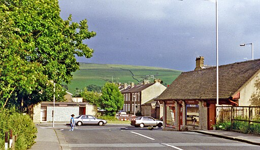
Earby station site. Site of former Earby station, 1996. View eastward off the A56, across the ex-Midland Skipton (to left) - Colne (to right) line, a fairly important cross-Pennine line which lasted until 2/2/70 and Earby station closed. The branch to Barnoldswick from Earby had closed 27/9/65 to passengers, to goods on 1/8/66.
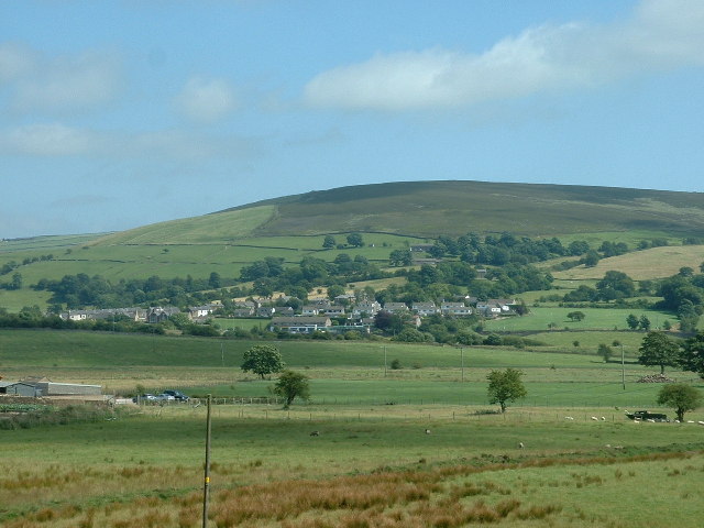
Pendle Way approaching Earby. Crossing the final field before the Way passes a chapel to cross the A56 and enter the small town of Earby.


