Walks Near Colne
![]()
![]() This Lancashire market town in the Borough of Pendle near Nelson. There are fine views of the Pennine Hills, including Pendle Hill which is one of the more popular walking highlights of the immediate area.
This Lancashire market town in the Borough of Pendle near Nelson. There are fine views of the Pennine Hills, including Pendle Hill which is one of the more popular walking highlights of the immediate area.
This circular walk from the town visits some of the local reservoirs, the Wanless Water river and the Leeds and Liverpool Canal.
The walk starts from Langroyd Park, just to the north of the town. From here you can pick up trails to take you along Foulridge Reservoir and then on to Slipper Hill Reservoir.
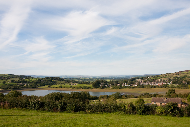
After rounding the reservoir you can then pick up a shared cycling and walking trail running south along Wanless Water to Barrowford Reservoir. The Barrowford Locks are also located here. It's a scenic section of the Leeds and Liverpool Canal which includes a car park and good surfaced paths.
The route then heads east along Colne Water through the Greenfield Road Nature Reserve before heading through the town centre and returning to the car park at Langroyd Park.
Colne Ordnance Survey Map  - view and print off detailed OS map
Colne Open Street Map  - view and print off detailed map
Colne OS Map  - Mobile GPS OS Map with Location tracking
Colne Open Street Map  - Mobile GPS Map with Location tracking
Walks near Colne
- Foulridge Reservoir - This easy, circular walk takes you around the pretty Foulridge Reservoir in Colne
- Pendle Hill - This walk climbs to the summit of Pendle Hill in Lancashire
- Pendle Way - Follow the Pendle Way through Lancashire and visit Barnoldswick, Thornton-in-Craven, Wycoller, Reedley, Newchurch and Pendle Hill on this challenging walk
- Burnley Way - This long circular walk explores the rivers, canals, reservoirs and moorland around the Lancashire town of Burnley.
- Bronte Way - Follow the Bronte Way through Lancashire and Yorkshire and visit many of the places associated with writings and lives of the Bronte Sisters.
Highlights on the walk include:
Gawthorpe Hall - visited by Charlotte Bronte on several occasions, the impressive Gawthorpe Hall is the start point of the walk
Wycoller Country Park - Wycoller Hall is believed to have inspired Ferndean Manor in Charlotte Bronte's "Jane Eyre" - Boulsworth Hill - Climb to Lad Law, the 1,696 ft (517 m) summit of Boulsworth Hill on this challenging walk in the South Pennines
- Widdop Reservoir - Widdop Reservoir is located near Hebden Bridge in Yorkshire
- Hurstwood Reservoir - This circular walk takes you around Hurstwood Reservoir in Burnley.
Start the walk from the public car park in the village of Hurstwood just to the west of the reservoir - Barnoldswick Canal Walk - Enjoy an easy waterside walk along the towpath of the Leeds and Liverpool Canal on this route in Lancashire and Yorkshire
- Barrowford Reservoir - This small reservoir in Barrowford is a nice place for an easy waterside stroll
- Sutton in Craven - This North Yorkshire based village is located near Keighley and Skipton in the Craven District of the county.
- Leeds and Liverpool Canal - Enjoy waterside cycling and walking along Britain's longest single canal
- Weets Hill - This circular walk climbs to Weets Hill from Barnoldswick near the edge of the Forest of Bowland AONB
- Wycoller Country Park - Enjoy a lovely walk through the beauitful Wycoller Country Park in Pendle
- Blacko Tower - This circular walk takes you around Blacko Tower from the village of Blacko in Lancashire.
- Elslack Reservoir - This circular walk visits Elslack Reservoir in North Yorkshire near Skipton.
Further Information and Other Local Ideas
Just to the north is neighbouring Earby where you can visit the delightful Earby Waterfalls on the Wencliffe Brook.
Photos
Colne Lane. Colne Lane is a very old road that runs down from the centre of Colne to the Waterside area in the South Valley. This shows Nos 76 (this end) to 100 (far end), even numbered houses.
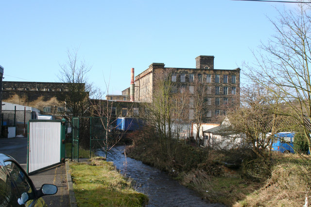
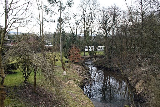
Colne: Wanless Water In the Border area, streams or small rivers are usually given the name 'Water' rather than the Yorkshire 'Beck' or the Lancashire 'Brook'. Wanless Water is a small stream that flows southwards roughly parallel to the canal, before being culverted beneath the M65 motorway to emerg again to view here, being visible from the footpath that leads from Greenfield Road to the canal towpath. Wanless Water then flows into Colne Water about 100 metres further on.


