Tattenhall Walks - Near and Around
![]()
![]() This Cheshire village is in a great location for exploring the Shropshire Union Canal and the woodland and countryside of the Cheshire Plain.
This Cheshire village is in a great location for exploring the Shropshire Union Canal and the woodland and countryside of the Cheshire Plain.
The village is also home to the Ice Cream Farm, the largest ice cream shop in the world!
This route uses sections of the Bishop Bennet Way, the Shropshire Union Canal, the Eddisbury Way, the Midshires Way and the Sandstone Trail to create a long walk around the village. On the way you'll visit some of the highlights of the area including Beeston Castle, Peckforton Castle and the Peckforton Hills.
The walk starts in the village and head north along the Tattenhall Road to link with the Shropshire Union Canal near the Tattenhall Marina. Follow the towpath east from Crow's Next Bridge to Dutton's Bridge and the River Gowy Aqueduct. Here you can pick up the Eddisbury Way and follow the waymarked footpath south to Wood Lane.
The route then heads east to visit Peckforton Castle where you'll find a 19th century manor house now used as a hotel.
From here you then head north to climb to Beeston Castle. The 13th century castle is a popular spot with an interesting history and fine views from its elevated position.
At Beeston you head south west to pick up the Sandstone Trail and follow it to Higher Budwarsley where you turn west to Budwarsley. The route then returns to the village, mainly on the same paths with a section along the Bishop Bennet Way near the end.
Postcode
CH3 9PX - Please note: Postcode may be approximate for some rural locationsTattenhall Ordnance Survey Map  - view and print off detailed OS map
Tattenhall Open Street Map  - view and print off detailed map
Tattenhall OS Map  - Mobile GPS OS Map with Location tracking
Tattenhall Open Street Map  - Mobile GPS Map with Location tracking
Walks near Tattenhall
- Bishop Bennet Way - The Bishop Bennet Way is a shared walking and cycling path running from Beeston in Cheshire to Wirswall on the Shropshire borders
- Eddisbury Way - Follow the Eddisbury way from Frodsham to Burwardsley on this walk through Cheshire.
You start by the River Weaver at Frodsham and head south to Kelshall, passing through Manley Common and skirting the edge of Delamere Forest - Midshires Way - This route follows public bridleways and quiet country lanes through Middle England, from Bledlow, near Aylesbury in Buckinghamshire, to Stockport in Greater Manchester
- Sandstone Trail - This is a popular walk that runs through Cheshire and Shropshire from Frodsham to Whitchurch.
The path starts in Frodsham and heads south to Frodsham Hill with lovely views over the Cheshire Plain and the Mersey Estuary - Peckforton Castle and Peckforton Hills - Explore the Peckforton Castle Estate and the Peckforton Hills on this walk in Cheshire
- Beeston Castle - Climb to the ruins of this 13th century castle and enjoy wonderful views over the Cheshire Plain on this short circular walk in the Peckforton Hills
- Bickerton Hill and Maiden Castle - This walk uses part of the Sandstone Trail to visit Maiden Castle Iron Age hill fort and Bickerton Hill
- Shropshire Union Canal - Travel from the ourskirts of Wolverhampton to Ellesmere Port on this long distance waterside walk along the Shropshire Union Canal.
The route starts at Autherley Junction in the Oxley area of Wolverhampton - Bulkeley Hill - Enjoy a walk through these peaceful woods to the Bulkeley Hill viewpoint on this walk in Cheshire
- Burwardsley - This Cheshire based village is crossed by two signficant long distance trails
- Tarporley - Tarporley is a very pretty Cheshire village with some nice country trails and waterside walks along the nearby canal towpath.
- Kelsall - This Cheshire based village makes a great base for exploring the surrounding countryside and woodland of the expansive Delamere Forest and the Sandstone Hills.
- Farndon - This pretty village is located on the banks of the River Dee right on the England-Wales Border
- Bunbury - This delightful Cheshire based village is a lovely place for a stroll
Pubs/Cafes
The Letters Inn is a historic pub in the heart of the village. Inside there's a cosy roaring fire while outside there's a sun-trap terrace garden area. You can find them on the Hgh Street at postcode CH3 9PX.
Dog Walking
The woodland and country trails are ideal for dog walking. The Letters Inn mentioned above is also dog friendly.
Further Information and Other Local Ideas
Just north of the village you can visit the Ice Cream Farm. The popular tourist attraction includes the world's largest ice cream shop, expansive children's play areas, farm animals and quad bikes. You can find them at Drumlan Hall, Newton Ln, CH3 9NE.
A few miles to the south there's another fine climb to Bickerton Hill and Maiden Castle. Just to the south east of Bickerton you'll find Cholmondeley where you can explore the 19th century Cholmondeley Castle. The castle is surrounded by 70 acres of beautiful parkland and gardens with an arboretum, herbaceous borders, lakes and a fine viewpoint to enjoy. Near here there's also the market town of Malpas with its timber framed properties and noteworthy 14th century church.
To the west there's the interesting village of Farndon. The village includes a noteworthy medieval bridge which spans the River Dee, connecting England to Holt in Wales. The Bishop Bennet Way and the Marches Way run past the settlement.
For more walking ideas in the area see the Cheshire Walks page.
Photos
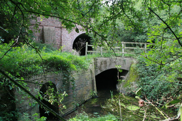
Shropshire Union Canal crossing River Gowy. This is a small aqueduct where the Shropshire Union Canal crosses the River Gowy near Huxley in Cheshire. It can't be seen from the canal bank but is quite a fine example of a small but complex intersection of two different waterways.
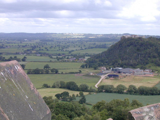
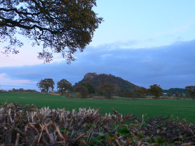
The medieval ruins of Beeston Castle stand on a rocky summit 500ft above the Cheshire plain, offering views from the Pennines in the east to the mountains of Wales in the west. It dates from 1225 when it was built by Ranulf, the sixth Earl of Chester, and contains one of the deepest castle wells in the country. It was seized by King Henry III in 1237 and used by him and later his son, King Edward I, as a base for their campaigns against the Welsh. The castle was finally destroyed at the end of the Civil War.
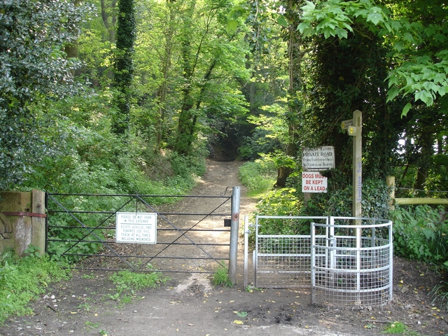
Tattenhall - orchard beside the Eddisbury Way. Orchard and wind break on the Eddisbury Way (Wood Lane) near Wood Farm. This type of scene is more typical of the hillsides near Kelsall further north. The conifer belts provide a wind break on the exposed Cheshire Plain.


