Fernhurst Walks
![]()
![]() This West Sussex village is located just south of Haslemere.
This West Sussex village is located just south of Haslemere.
It's an attractive place for a stroll with a village green and a notable 16th century pub for refreshments.
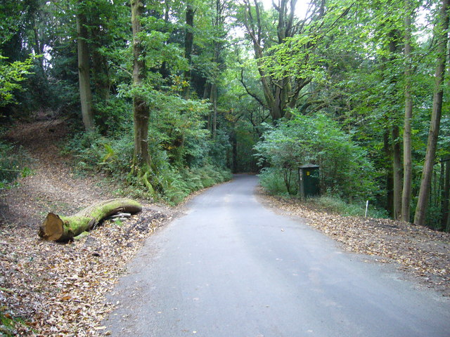
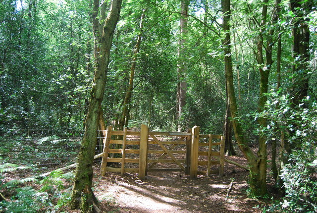
This walk from the village take you north to visit Marley Heights and Marley Common. The common has miles of good footpaths taking you to heathland, woodland and meadows.
Please scroll down for the full list of walks near and around Fernhurst. The detailed maps below also show a range of footpaths, bridleways and cycle paths in the area.
Fernhurst Ordnance Survey Map  - view and print off detailed OS map
Fernhurst Open Street Map  - view and print off detailed map
Fernhurst OS Map  - Mobile GPS OS Map with Location tracking
Fernhurst Open Street Map  - Mobile GPS Map with Location tracking
Walks near Fernhurst
- Marley Common - This large green space in Haslemere is great for a peaceful stroll in lovely surroundings
- Ludshott Common - Explore this large area of heathland and woodland on this circular walk in East Hampshire
- Bramshott Common - Explore this large expanse of heathland on this walk near Liphook in Hampshire
- Sussex Border Path - A fabulous long distance walk following the Sussex county border from Thorney Island in West Sussex to Rye in East Sussex
- Serpent Trail - This walk runs from Haslemere to Petersfield through the beautiful Sussex greensand hills
- Black Down - Climb to the highest point in the South Downs on this challenging route in Sussex
- Haslemere Circular Walk - This fine circular walk takes you around the Surrey town of Haslemere
- Liphook - This large Hampshire based village is a great place to start a walk
- Lurgashall - This Sussex based village is a delightful place for a stroll
- Sussex Border Path - A fabulous long distance walk following the Sussex county border from Thorney Island in West Sussex to Rye in East Sussex
- Greensand Way - The Greensand Way runs from Haslemere in Surrey to Hamstreet in Kent following the ridge of greensand rock that crosses the two counties
- Devil's Punch Bowl - This circular walk in the Surrey Hills AONB takes you through Hindhead Common, up Gibbet Hill and to the Devil's Punch Bowl - a large natural amphitheatre and beauty spot
- Woolmer Forest - This large area of heathland and woodland has public footpaths to follow from the hamlet of Conford in the north eastern part of the site.
Pubs/Cafes
Red Lion - Nestled by the village green, the Red Lion has served as a pub since 1592. The interior features a single bar under a low, timbered ceiling, complemented by two cosy side rooms and a magnificent inglenook fireplace, complete with a sizeable wood-burning stove. On pleasant days, patrons can enjoy seating that overlooks the village green at the front, or opt for the spacious rear garden, which includes a covered, heated, and lit shelter for smokers. The pub enjoys popularity among both local residents and those who come specifically to dine. They are located at postcode GU27 3HY and the pub is dog friendly.
Kings Arms - The pub has a real fire to settle down to a cosy drink and meal in the winter and a stunning beer garden to enjoy in the warmer months. The decor is traditional with large wooden tables and bare wooden floors. The pub also offers accommodation and an Indian restaurant utilises the barn next door. You can find them at Midhurst Road, GU27 3HA


