Fremington Edge Walk
![]()
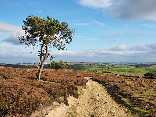
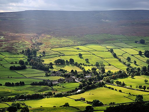
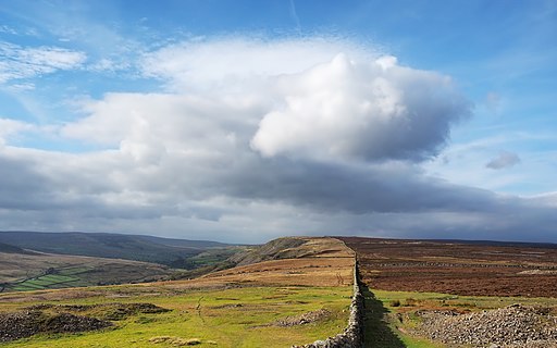
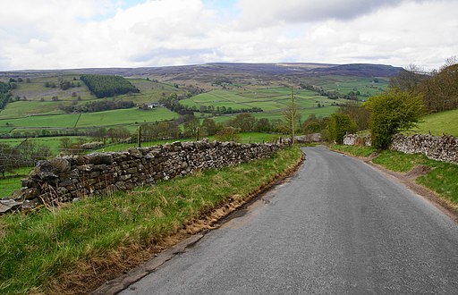
![]() This elevated ridge in Swaledale is a popular place for walkers. The craggy ridge rises to a height of 1,552 feet (473 m) with some tremendous views over the surrounding Yorkshire Dales.
This elevated ridge in Swaledale is a popular place for walkers. The craggy ridge rises to a height of 1,552 feet (473 m) with some tremendous views over the surrounding Yorkshire Dales.
This circular walk takes you up to Fremington Edge from the village of Reeth where car parking is available. From the village head north west to cross the Arkle Beck and then head north west through lovely Arkengarthdale to Castle Farm and Fleggs House. Here you turn north east to climb up to Fremington Edge Top where you will soon come to the high point on the ridge.
Follow the paths south east across the ridge past the disused radio mast to New Close Bank. Here you pick up a country lane to descend to Reels Head and High Fremington. Soon after you cross the beck again to return to Reeth.
Much of the route takes place bridle paths so is also popular with mountain bikers.
Fremington Edge Ordnance Survey Map  - view and print off detailed OS map
Fremington Edge Open Street Map  - view and print off detailed map
Fremington Edge OS Map  - Mobile GPS OS Map with Location tracking
Fremington Edge Open Street Map  - Mobile GPS Map with Location tracking
Further Information and Other Local Ideas
To the south you can pick up the circular Grinton Walk which starts from the nearby village. The route visits the historic Marrick Priory, the elevated Cogden Moor and the pretty Cogden Gill.
Cycle Routes and Walking Routes Nearby
Photos
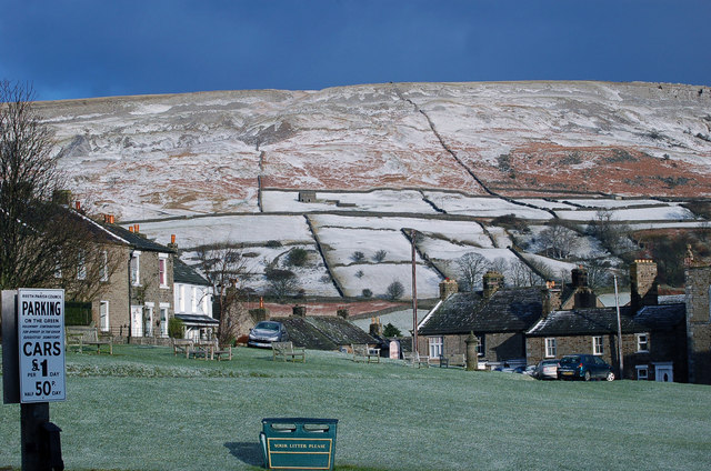
Fremington Edge as seen from Reeth. A light covering of snow covers Fremington Edge from which there is a wonderful view of the lovely town of Reeth. The car park in the centre is an ideal stopping place for walking the hills.
Grinton Swaledale. The edge was formed after the last Ice age when melt water from the retreating glaciers caused a landslip and exposed the rocky outcrops.
Fell End Hush Spoil heaps and walkers on the bridleway which zigzags up the hush. The hamlet of Booze can be seen across the valley. The area includes the remains of old lead and chert mines, and there are many disused shafts and spoil heaps such as the pictured here at the northern end of the edge.
