Hulne Park Walk
![]()
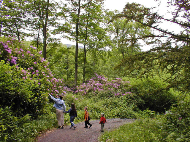
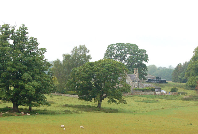
![]() This beautiful estate in Alnwick has several waymarked walking trails to try. The walled park was landscaped by the famous Capability Brown. It includes the historic sites of Hulne Priory, Alnwick Abbey, and Brizlee Tower. There's also nice sheltered woodland trails and views of the River Aln which runs through the park.
This beautiful estate in Alnwick has several waymarked walking trails to try. The walled park was landscaped by the famous Capability Brown. It includes the historic sites of Hulne Priory, Alnwick Abbey, and Brizlee Tower. There's also nice sheltered woodland trails and views of the River Aln which runs through the park.
Opening times for the public are between 11am and sunset on most days. You can phone the estate office on 01665 510777 to check before you go. Please note cycles and dogs are not permitted.
Start the walk from the Hulne Park entrance, on the western side of the town. Follow the trails past Hollin Hill and White Hill to Brizlee Tower. This Grade 1 listed folly was erected in 1781 for Hugh Percy, 1st Duke of Northumberland. There's wonderful views over North Northumberland, the Borders and the coast from the top of the tower, though this is not normally open to the public.
The trails then head towards East Brizlee Bridge where you cross the River Aln. You then follow trails along the river to Palmstrother Haugh and on to Hulne Priory. The priory was founded in the 13th century and substantial ruins still survive today.
From the priory more nice riverside woodland trails take you round to Filbert Haugh and then back to the entrance. On the other side of the river you'll pass Alnwick Abbey which was founded in the 12th century. An architecturally impressive 14th century gatehouse still remains.
To extend your walking in the area you can head to Thrunton Woods a few miles south west of the park. There's more waymarked trails here with good views towards the Cheviots. The woods sit next to the pretty village of Whittingham where you can enjoy views of the River Aln and see the noteworthy old church which dates back to the 10th century.
If you head east you can explore the Northumberland Coast AONB and visit the 14th century
Dunstanburgh Castle and the lovely Embleton Bay.
Also nearby is the National Trust's Cragside Country Park. Here you'll find more woodland trails, pretty lakes and waterfalls.
Postcode
NE66 3JE - Please note: Postcode may be approximate for some rural locationsHulne Park Ordnance Survey Map  - view and print off detailed OS map
Hulne Park Open Street Map  - view and print off detailed map
Hulne Park OS Map  - Mobile GPS OS Map with Location tracking
Hulne Park Open Street Map  - Mobile GPS Map with Location tracking
Further Information and Other Local Ideas
On the southern side of the park there's Brizlee Wood to visit. Here you will find the Remote Radar Head which is a large white dome that looks like a golf ball. The dome is located in a scenic, elevated location on Cloudy Crags so there are also some more fine views to enjoy here.


