Whittingham Walks
![]()
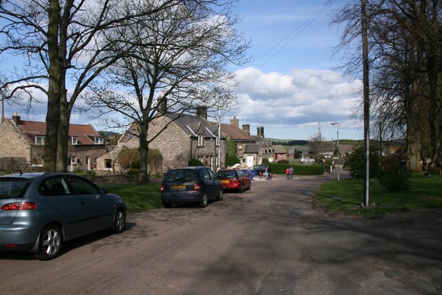
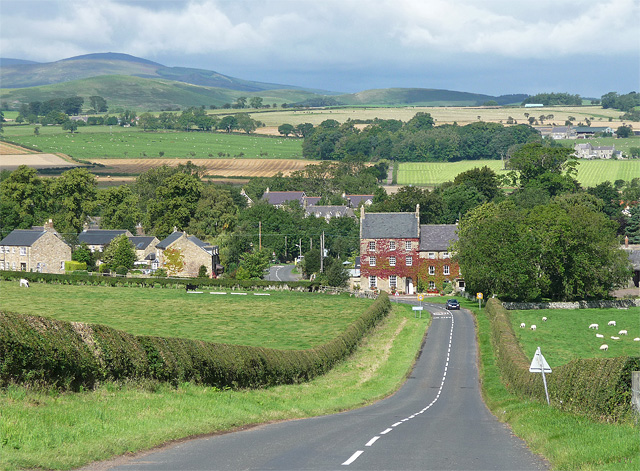
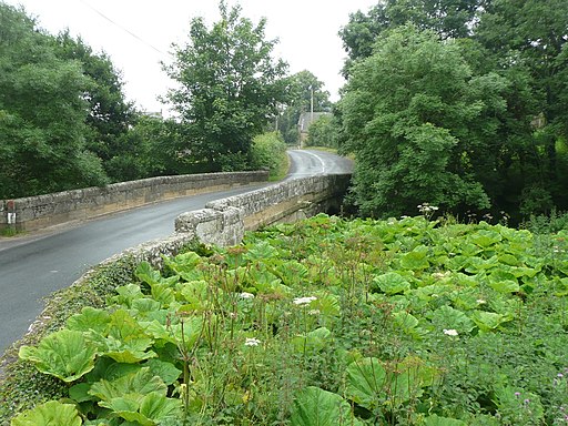
![]() This pretty rural village in Northumberland sits in a scenic spot on the River Aln.
This pretty rural village in Northumberland sits in a scenic spot on the River Aln.
The historic settlement includes a 14th century pele tower and a noteworthy old church with a tower dating from 900 AD.
This circular walk from the village explores the countryside to the west before a visit to the nearby Thrunton Woods.
The walk starts in the village and heads east to follow footpaths past Whittingham Wood and along the Callaly Burn. You then follow country lanes south and east to Callaly Castle where you can enter Thrunton Woods. Here you can enjoy woodland trails to the fort at Castle Hill before heading north past Humbleton Hill. You can then follow another quiet country lane back to the village, passing Whittonlea Quarry on the way.
Postcode
NE66 4UW - Please note: Postcode may be approximate for some rural locationsWhittingham Ordnance Survey Map  - view and print off detailed OS map
Whittingham Open Street Map  - view and print off detailed map
Whittingham OS Map  - Mobile GPS OS Map with Location tracking
Whittingham Open Street Map  - Mobile GPS Map with Location tracking
Further Information and Other Local Ideas
Head east and you will soon come to the popular town of Alnwick where you can pick up the Alnwick to Bamburgh Walk and visit the historic coastal castle. The wonderful Cragside Country Park, Hulne Park and Brizlee Wood are also located close by.
Just to the north west is the wonderful Ingram Valley where you can enjoy riverside trails and visit the splendid Linhope Spout waterfall.
To the west there's the circular Shepherds Cairn Walk which visits a memorial to two shepherds who lost their lives in the exceptionally cold winter of 1962. The walk starts from Alnham where there's a noteworthy Grade I listed 12th century church.


