Whin Rigg and Illgill Head Walk
![]()
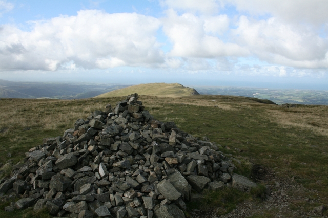
![]() This circular walk climbs to Whin Rigg and Illgill Head above Wast Water in the Lake District. It's a splendid ridge top walk with wonderful views to the surrounding fells and lakes throughout.
This circular walk climbs to Whin Rigg and Illgill Head above Wast Water in the Lake District. It's a splendid ridge top walk with wonderful views to the surrounding fells and lakes throughout.
You can start the walk from the car park at the eastern end of Wast Water. From here you head south, climbing to Fence Wood before following the Straighthead Gill towards Illgill Head which stands at a height of 609 metres.
You continue south to Whin Rigg where you can enjoy more fantastic views down to the lake and across to other prominent fells including Great Gable.
From Whin Rigg you descend down to the lake along Greathall Gill to Low Wood. Here you can cross the River Irt and Lund Bridge and pick up the minor road on the western side of the lake. Follow this north east and it will take you along the lake with some splendid views back to the hills.
Just to the east of Illgill Head you can take a small detour to visit Burnmoor Tarn.


