Knepp Castle Walks
![]()
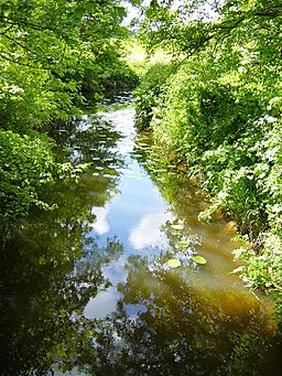
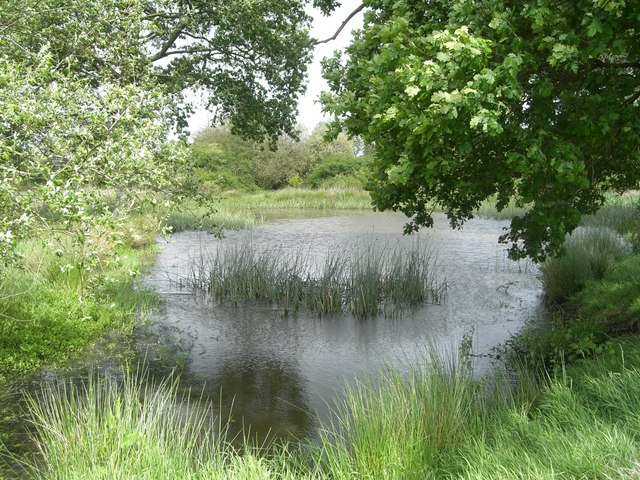
![]() The Knepp Castle Estate is a fine place for walking with miles of trails to follow. There's scenic countryside with ponds, woodland, wildflowers, brooks and river views to enjoy. The area is great for wildlife too with wild boar, nesting storks, horses and deer to look out for on the way.
The Knepp Castle Estate is a fine place for walking with miles of trails to follow. There's scenic countryside with ponds, woodland, wildflowers, brooks and river views to enjoy. The area is great for wildlife too with wild boar, nesting storks, horses and deer to look out for on the way.
This circular walk explores a lovely section of the estate around the ruined castle.
Start the walk at the castle, located just to the west of the Worthing A road. Here you will find the remains of the 12th century medieval fortress. Follow the footpaths north west and they will take you past the large Knepmill Pond to Capp's Bridge, Shipley and King's Windmill. Shipley is an attractive old village with a noteworthy historic church and a picturesque windmill to see. Here you turn south to follow a bridle track to Hampshires Farm, Hammer Pond and Pen Bridge. You then turn east to Honeypools Barn and Swallows Farm before crossing the River Adur and returning to the castle.
Postcode
RH13 8LQ - Please note: Postcode may be approximate for some rural locationsPlease click here for more information
Knepp Castle Ordnance Survey Map  - view and print off detailed OS map
Knepp Castle Open Street Map  - view and print off detailed map
Knepp Castle OS Map  - Mobile GPS OS Map with Location tracking
Knepp Castle Open Street Map  - Mobile GPS Map with Location tracking
Pubs/Cafes
The Countryman Inn is a delightful country pub located on the route near Shipley. The pub is in a great spot, with a lovely large garden surrounded by open countryside and horses. Inside there's a cosy interior with warming wood burning stoves and a variety of Sussex brewers’ craft and traditional ales to try. They serve high quality food with produce sourced from neighbouring farms. You can find them on the western side of the route on Countryman Lane with a postcode of RH13 8PZ for your sat navs.
Dog Walking
The trails on the estate make for a fine dog walk so you'll probably see other owners on your visit. You're advisied to keep them on leads because of the wildlife. The Countryman Inn mentioned above is also dog friendly with water bowls available for your thirsty friend.
Further Information and Other Local Ideas
Head north from the site and you could pay a visit to the nearby Southwater Country Park in Horsham. The park has a series of lakes, lots of wildlife and a good visitor centre to explore.
For more walking ideas in the area see the Sussex Walks page.
Cycle Routes and Walking Routes Nearby
Photos
Deer, grounds of Knepp Castle. Knepp was emparked in the eleventh century and the ruin to the left was long used as a fortified hunting lodge. The current park is home to Deer and Boar. Purple emperor butterflies can also be seen fluttering around the park's wildlflowers.
Knepp Mill Pond. Believed to have been built in the sixteenth century to power a furnace mill. It is one of the largest stretches of water in Sussex. Taken from Castle Lane bridleway. The land around the castle is now the site of Knepp Wildland, the first major lowland rewilding project in England. This includes 3,500 acres of former arable and dairy farmland in the grounds of the castle. This conversion of the land has lead to an abundance of new wildlife including turtle doves, barbastelle bats, slow-worms, nightingales and grass snakes.
Knepp Castle ruins. The castle was founded in the 12th century and then rebuilt as a stone castle with a two-storey keep in 1214 by King John. The castle stands on an oval mound, modelled from a natural feature, surrounded by a ditch and ramparts. The ditch, fed from a nearby pond, formed a moat which still contained water at the beginning of the eighteenth century.


