Ledbury Circular Walk
![]()
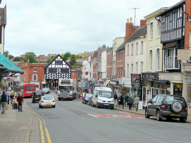
![]() This Herefordshire based market town is a splendid place for a walk with waymarked footpaths to follow into the nearby Malvern Hills. It's also awash with numerous historic Tudor buildings including a fine 16th century pub for rest and refreshment after your exercise.
This Herefordshire based market town is a splendid place for a walk with waymarked footpaths to follow into the nearby Malvern Hills. It's also awash with numerous historic Tudor buildings including a fine 16th century pub for rest and refreshment after your exercise.
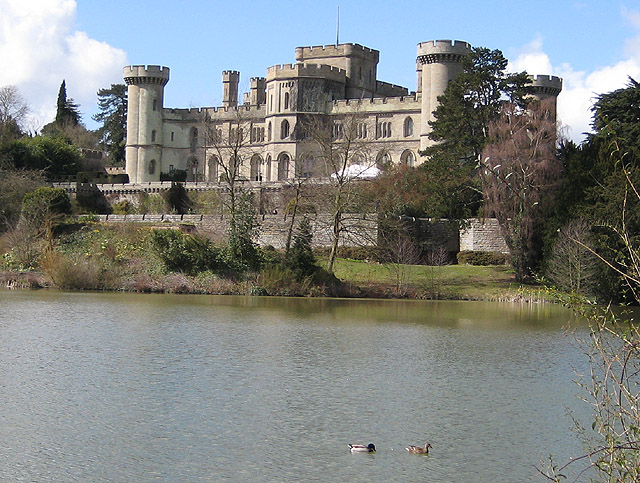
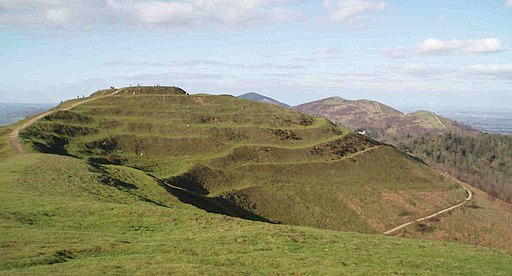
This walk from the town uses sections of the Geopark Way and the Three Choirs Way to create a circular walk through the area to the east of Ledbury. On the way you will visit the Eastnor Deer Park before climbing into the Malvern Hills for some amazing views over the area. This section visits Herefordshire Beacon and British Camp where you explore the ancient Iron Age Hillfort.
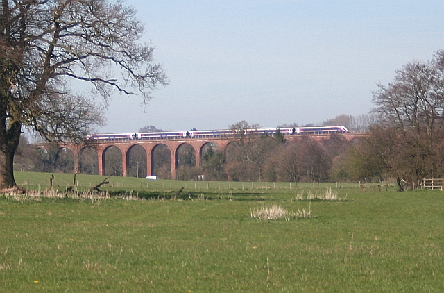
The return leg from Colwall takes you through countryside and woodland to Wellington Heath before returning to the town with views of the Ledbury Railway Viaduct.
Postcode
HR8 1DL - Please note: Postcode may be approximate for some rural locationsLedbury Ordnance Survey Map  - view and print off detailed OS map
Ledbury Open Street Map  - view and print off detailed map
Ledbury OS Map  - Mobile GPS OS Map with Location tracking
Ledbury Open Street Map  - Mobile GPS Map with Location tracking
Walks near Ledbury
- Eastnor Deer Park - This walk follows a section of the Geopark Way long distance trail through the beautiful Eastnor Deer Park
- Worcestershire Way - This walk takes you from Bewdley to Great Malvern where you can enjoy splendid views of the Malvern Hills.
The path starts on the River Severn in Bewdley and heads south, passing the villages of Abberley and Martley on your way to Great Malvern - Geopark Way - Meandering its way for 109 miles through the Abberley and Malvern Hills Geopark from Bridgnorth to Gloucester, the Geopark Way passes through stunning countryside as it explores 700 million years of geological history
- Malvern Hills - This walk takes you the full length of the Malvern Hills from End Hill in North Malvern to Chase End Hill at the southern end
- Herefordshire Trail - Ross on Wye to Bromyard - The Herefordshire Trail takes you on a tour of the area's prettiest villages, rivers, parks, woodland, countryside and hills
- Three Choirs Way - Visit the cities of Gloucester, Hereford, and Worcester on this long distance circular walk
- Herefordshire Beacon and British Camp - This walk climbs to Herefordshire Beacon in the Malvern Hills Area of Outstanding Natural Beauty
- Colwall - This village in Worcestershire includes a train station and a fine hotel making it a great spot for exploring the surrounding Malvern Hills.
- Ledbury-Eastnor Castle-Malvern Hills - This walk from Ledbury takes you through the Eastnor Castle Estate before climbing into the hills to the east of the town
Pubs/Cafes
Head to the Prince of Wales for some well earned post walk refreshments. The 16th-century timber-framed pub is in a delightful spot on a picturesque cobbled alley leading to the church. The multi-award winning establishment serves fine home cooked food and a good selection of ales. You can find them on Church Lane at postcode HR8 1DL. The pub is dog friendly.


