Lindfield Walks
![]()
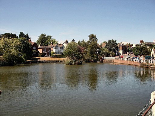
![]() This attractive Sussex based village has a lovely large village pond and an historic High Street.
This attractive Sussex based village has a lovely large village pond and an historic High Street.
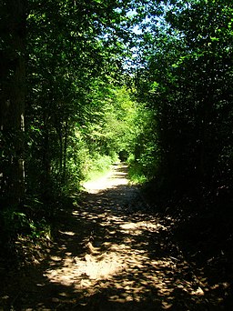
There's also some fine walking trails on which to explore the surrounding High Weald and River Ousel Valley countryside.
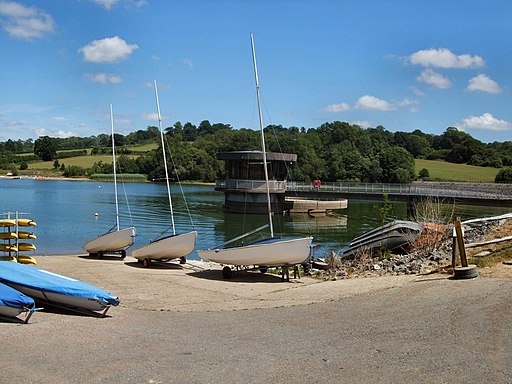
This walk from the village follows sections of the Sussex Ouse Valley Way and the High Weald Landscape Trail to one of the highlights of the area at Ardingly Reservoir.
The walk starts by the picturesque village pond and heads north along the High Street. It's a lovely village street, lined with lime trees, and with over forty medieval and post medieval timber-framed houses. Near the 11th century church you can pick up the Sussex Ouse Valley Way and follow the waymarked trail north west past Kenwards Farm and Haywards Heath Golf Club. At Copyhold Lane you pick up the High Weald Landscape Trail and follow it north through River's Wood to reach the reservoir. Here you will find a footpath to take you along the eastern side of the water to the village of Balcombe. The area is a nature reserve with habitats including wetland, reedbed, deciduous woodland, hazel coppice and haymeadow. Near here you can also visit the impressive Ouse Valley Viaduct. The Grade II listed structure carries the London-Brighton Railway Line over the River Ouse and is particularly photogenic.
Postcode
RH16 2HP - Please note: Postcode may be approximate for some rural locationsLindfield Ordnance Survey Map  - view and print off detailed OS map
Lindfield Open Street Map  - view and print off detailed map
Lindfield OS Map  - Mobile GPS OS Map with Location tracking
Lindfield Open Street Map  - Mobile GPS Map with Location tracking
Pubs/Cafes
The Bent Arms is a good choice for post walk refreshment. It's a historic place, dating all the way back to the 17th century when it was a originally a coaching inn. They serve a fine Sunday lunch and have an appealing garden area for warmer weather. You can find them on the High Street at postcode RH16 2HP for your sat navs.
Dog Walking
The country and woodland trails are ideal for a dog walk. The Bent Arms mentioned above is also dog friendly.
Further Information and Other Local Ideas
Head west towards Cuckfield and you could explore the beautiful Nymans Gardens. Just to the south west of Cuckfield there's Bolney where you could pay a visit to the impressive Bolney Wine Estate. Here you can enjoy guided tours of the vineyard and learn all about the history of the wine making process. The pretty village also includes a noteworthy 12th century church, several listed buildings and the well known Bolney Stage pub which is hundreds of years old.
For more walking ideas in the area see the High Weald Walks page.
Cycle Routes and Walking Routes Nearby
Photos
Lindfield Bridge. Like most of the Sussex rivers, the Ouse was an agricultural waterway, with an upstream traffic of bulk goods such as chalk, coal and stone, and a return traffic of agricultural produce. At Lindfield there was also a mill near this bridge. The canal ran into financial difficulties primarily caused by the new railways and became disused after the 1860s. The Ouse river flows past Lewes and into the sea at Newhaven.


