Little Marlow and Spade Oak River Walk
![]()
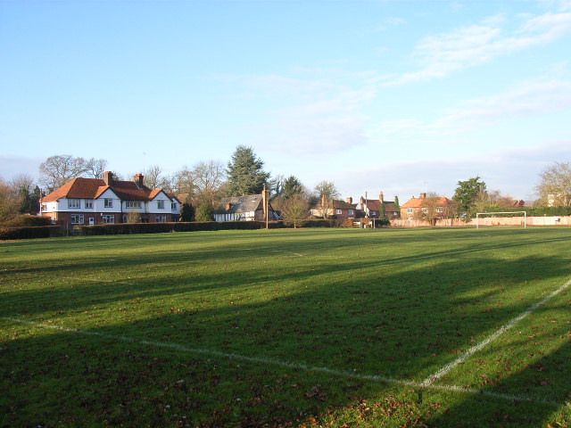
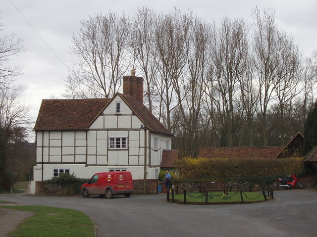
![]() This pretty little village in Buckinghamshire sits close to the River Thames and a lovely local nature reserve. The village is very attractive with picturesque cottages, a 14th century church and a 16th century pub for refreshment after you walk.
This pretty little village in Buckinghamshire sits close to the River Thames and a lovely local nature reserve. The village is very attractive with picturesque cottages, a 14th century church and a 16th century pub for refreshment after you walk.
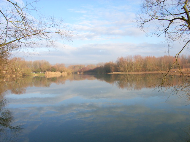
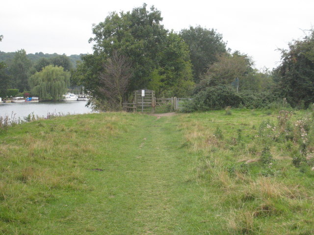
This circular walk takes you around the Spade Oak Nature Reserve which lies just to the south of the settlement. The pretty reserve includes a lake which attracts a variety of birdlife. Along the former gravel pit there are also some pleasant woodland trails. You can follow footpaths around the lake leading you down to the railway line and the Thames Path where you can enjoy a riverside stroll along a nice grassy path.
You can extend the walk by heading west along the river to visit Marlow. Heading east will take you to Bourne End and Cookham where you can visit the National Trust's Cliveden House.
Postcode
SL7 3SR - Please note: Postcode may be approximate for some rural locationsLittle Marlow and Spade Oak River Walk Ordnance Survey Map  - view and print off detailed OS map
Little Marlow and Spade Oak River Walk Open Street Map  - view and print off detailed map
*New* - Walks and Cycle Routes Near Me Map - Waymarked Routes and Mountain Bike Trails>>
Little Marlow and Spade Oak River Walk OS Map  - Mobile GPS OS Map with Location tracking
Little Marlow and Spade Oak River Walk Open Street Map  - Mobile GPS Map with Location tracking
Pubs/Cafes
Back in the village you can enjoy some post exercise relaxation and refreshment at The Queen's Head. The historic pub dates back to the 16th century and includes a charming interior with wooden beams and open fire. The serve top quality cuisine and have a pleasant garden area for the warmer months. You can find the pub in an idyllic location on Pound Lane with postcode SL7 3SR for your sat navs.
Dog Walking
The trails make for a nice dog walk and the Queen's Head mentioned above is also dog friendly.
Further Information and Other Local Ideas
Just to the east there's the neighbouring village of Wooburn Green. There's a pleasant large green here with a number of historic properties including a 16th century public house. There's also a pretty local park with walks along the River Wye and peaceful adjacent woodland.
Cycle Routes and Walking Routes Nearby
Photos
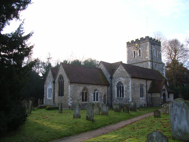
St John the Baptist's, Little Marlow. Most of the building dates from the 14th and 15th centuries. Mel Brown, Scary Spice from the girl group the Spice Girls, married dancer Jimmy Gulzar here in 1998.
