Wooburn Green Walks
![]()
![]() This pretty village is located near High Wycombe and Beaconsfield in Buckinghamshire.
This pretty village is located near High Wycombe and Beaconsfield in Buckinghamshire.
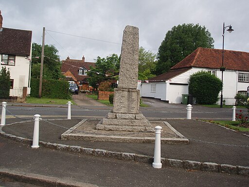
The village has a pleasant, large green surrounded by trees and a series of Victorian and Edwardian properties. There's also an historic 16th century pub for refreshments after your exercise.
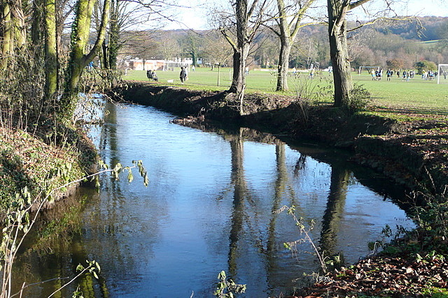
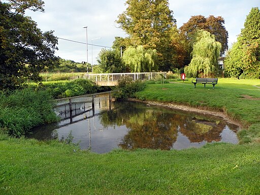
This little walk around the village takes you from the green to Woburn Park. In the park you can follow nice footpaths along the River Wye and then into the woodland in the adjacent Farm Wood.
To continue your walking in the area head west to Little Marlow. Here you can enjoy a walk around the Spade Oak Nature Reserve where you'll find a pretty lake with lots of wildlife to look out for. The village is also worth exploring with picturesque cottages, a 14th century church and a 16th century pub. You can pick up the Thames Path National Trail here and follow it towards Cookham and the splendid Cliveden House.
Postcode
HP10 0EJ - Please note: Postcode may be approximate for some rural locationsWooburn Green Ordnance Survey Map  - view and print off detailed OS map
Wooburn Green Open Street Map  - view and print off detailed map
Wooburn Green OS Map  - Mobile GPS OS Map with Location tracking
Wooburn Green Open Street Map  - Mobile GPS Map with Location tracking
Walks near Wooburn Green
- Little Marlow - This pretty little village in Buckinghamshire sits close to the River Thames and a lovely local nature reserve
- High Wycombe - This large Buckinghamishire town is a great place to go for a country walk with some several attractive woodland areas, views of the Chiltern Hills and the wonderful Hughenden Park to enjoy
- Marlow - The riverside town of Marlow is a lovely spot for walking
- Marlow to Henley - A popular riverside walk between these Marlow and Henley-on-Thames
- Cookham River Circular Walk - The little village of Cookham is situated in a particularly delightful spot by the River Thames
- Bisham Woods - These woods near Marlow have some nice walking trails to try
- Beeches Way - Follow the Beeches Way through the Chilterns from the River Thames at Cookham to the Grand Union Canal at West Drayton.
You start off at Cookham and head east to the wooded Burnham Beeches Nature Reserve - Cliveden House - Explore the stunning gardens and woodlands surrounding this Italianate mansion near Maidenhead
- Burnham Beeches - This hugely popular National Nature Reserve and woods has miles of good walking trails to try
- Chiltern Way - This is the original 125 mile circuit of the Chilterns AONB taking you through Hemel Hempstead, Chalfont St Giles, Marlow, Hambleden, Turville, Fingest, Bix Bottom, Ewelme, the Ridgeway, Stokenchurch, Great Hampden, Aldbury, the Dunstable Downs Country Park, Sharpenhoe Clappers and Harpenden
- Marlow to Hurley River Walk - This easy riverside walk takes you from Marlow to Hurley along the Thames Path
- Hurley - This riverside village near Maidenhead has some nice local trails and a noteworthy ancient pub.
- Beaconsfield - This circular walk from Beaconsfield explores some lovely Chilterns countryside
Pubs/Cafes
The Coach House is in a lovely spot overlooking the green. The quirky pub dates back to the 18th century when it was originally a coaching inn. They serve a fine Sunday roast and also has a pleasant garden area. You can find them at postcode HP10 0EJ for your sat navs.
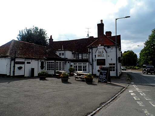
Near the park there's also The Old Bell. This one dates back to the 16th century and sits next to the church in the attractive conservation area of Wooburn Town. There's fine food and a great sun trap garden to enjoy here. You can find them on Town Lane at postcode HP10 0PL.
Dog Walking
The park and the wood are a popular spot for dog walking in the village. The Coach House mentioned above is also dog friendly.
Further Information and Other Local Ideas
The Beeches Way can be picked up to the south of the village. This long distance trail could be followed south east to the Burnham Beeches National Nature Reserve. The reserve is one of the walking highlights of the area with 500 acres of beech woodland, ponds, streams, grassland and heathland to explore.


