Mereworth Woods
![]()
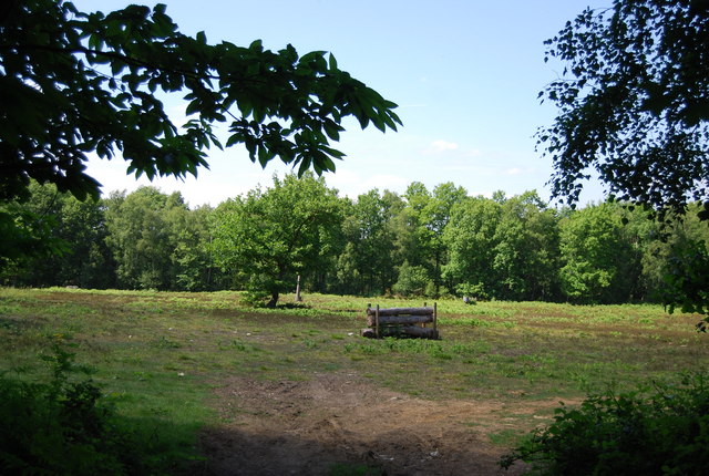
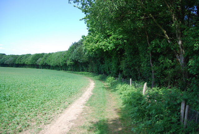
![]() These large woods near Sevenoaks have miles of mountain bike trails and woodland walks to enjoy. The ancient woods consist of mixed broadleaf woodland, acid heath and some conifer plantations. The woods include wide bridleways with some steep descents and nice jumps to try. There's also good footpaths for walkers with lots of wildlife to look out for.
These large woods near Sevenoaks have miles of mountain bike trails and woodland walks to enjoy. The ancient woods consist of mixed broadleaf woodland, acid heath and some conifer plantations. The woods include wide bridleways with some steep descents and nice jumps to try. There's also good footpaths for walkers with lots of wildlife to look out for.
The Wealdway long distance trail runs through the western edge of the forest so you can pick this up to extend your walk into the surrounding Kent countryside. Heading north takes you to Platt and Wrotham Heath, while heading south takes you to West Peckham and the Grade II listed Oxon Hoath manor house. Around here you can pick up the Greensand Way which runs to the south of the woods.
Also nearby is Oldbury Hill where there are some good bridleways for mountain bikers and the pretty Ightham Mote which has good walking trails.
Postcode
TN15 8TA - Please note: Postcode may be approximate for some rural locationsMereworth Woods Ordnance Survey Map  - view and print off detailed OS map
Mereworth Woods Open Street Map  - view and print off detailed map
Mereworth Woods OS Map  - Mobile GPS OS Map with Location tracking
Mereworth Woods Open Street Map  - Mobile GPS Map with Location tracking
Further Information and Other Local Ideas
Just to the north east of the woods you'll find the interesting town of West Malling and Manor Park Country Park. There's fields, wildflower meadows and a pretty lake with lots of birds to see here.
Just to the east there's neighbouring Kings Hill where you can visit the wildlife rich Warren Woods Nature Park and enjoy the greenways which are suitable for cyclists and walkers.
Cycle Routes and Walking Routes Nearby
Photos
Mereworth Castle and Wateringbury Stream. As seen from lodge buildings on A26 Tonbridge Road. Mereworth Castle is a grade I listed Palladian country house in Mereworth, Kent, England. The Wateringbury Stream passes through the grounds of the castle. It powered a fulling mill at the eastern end of the castle grounds. Mereworth Castle is owned by His Excellency Sayed Mohammed Mahdi Al-Tayer, a former Ambassador Extraordinary and Plenipotentiary in London of the United Arab Emirates, who purchased it in 1976 for $1.2 million. It is not generally accessible to the public, but does open on rare occasions for guided tours.


