Midsomer Norton Walks
![]()
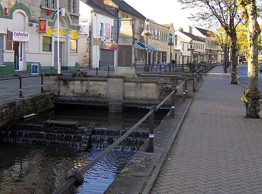
![]() This Somerset based town is located near the Mendip Hills where there are plenty of opportunites for walkers. There's also some nice walks along the River Somer which runs through the town centre.
This Somerset based town is located near the Mendip Hills where there are plenty of opportunites for walkers. There's also some nice walks along the River Somer which runs through the town centre.
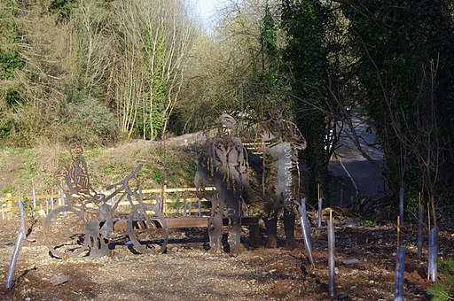
This circular walk from the town takes you along a Fiver Arches Greenway rail trail to neighbouring Radstock before returning through the countryside on the country lanes to the north of the town. On the way you'll pass the village of Clandown and also climb to Pow's Hill and Kitley Hill where there are nice views over the surrounding area. The rail trail and country lanes are also suitable for cyclists.
To continue your walking around the town head north to pick up the waymarked Limestone Link footpath. Near here there are also some nice woodland trails in Greyfield Woods at High Littleton.
Postcode
BA3 2HQ - Please note: Postcode may be approximate for some rural locationsMidsomer Norton Ordnance Survey Map  - view and print off detailed OS map
Midsomer Norton Open Street Map  - view and print off detailed map
Midsomer Norton OS Map  - Mobile GPS OS Map with Location tracking
Midsomer Norton Open Street Map  - Mobile GPS Map with Location tracking
Walks near Midsomer Norton
- Limestone Link - Starting at Cold Ashton in St Catherine's Valley, Gloucestershire follow the Limestone Link from the Cotswolds to the Mendip Hills in Somerset.
The walk first heads south towards Batheaston where you join the River Avon and the Kennet and Avon Canal for a lovely waterside stretch to Monkton Coombe - Greyfield Woods - These pretty woods near the village of High Littleton have some nice woodland trails to try
- Chew Valley Lake - This walk follows the delightful nature trail which runs along the eastern side of this large lake in Chew Stoke
- Three Peaks Walk - This is a fairly hilly circular route taking you through some of the most peaceful and attractive countryside in Somerset.
The walk starts and finishes in the pretty village of Chew Magna and follows the path to Pensford and then back via Clutton.
You will climb Knowle Hill, Maes Knoll, and Blackberry Hill (three peaks) while enjoying excellent views of the Mendip Hills, Dundry Hill and the surrounding Chew Valley countryside - Mells River Walk - Enjoy an easy riverside stroll on this walk from the village of Mells to Frome in Somerset.
The pretty village is noted for several interesting old buildings including the 16th-century Mells Manor and the Talbot Inn which dates from the 15th century and is Grade II listed. The fine inn was voted Sunday Times Hotel of the Year in 2013.
Starting from Mells you follow the river east through the Wadbury Valley to Great Elm, passing the Old Iron Works on the way - Shepton Mallet - Visit the Charlton viaduct and the village of Doulting on this circular walk in the Somerset town of Shepton Mallet.
Just to the north of the town you can pick up the East Mendip Way on Barren Down - Frome - The Somerset town of Frome has some lovely trails to follow through the surrounding countryside
- Heaven's Gate Longleat - Enjoy wonderful views over the Longleat Estate and the surrounding Wiltshire countryside on this short walk near Warminster
- Trowbridge Park and River Walk - A short circular walk through Trowbridge Park and along the River Biss.
The walk starts in Trowbridge Park, just to the east of the train station - Bath Canal Walk - This is a popular walk along the Kennet and Avon Canal from Bath to Bradford on Avon
- Bath Skyline Walk - Enjoy wonderful views of the city of Bath on this popular circular walk
- Radstock - This Somerset based town is located on the northern slopes of the Mendip Hills and also close to the Cotswolds Hills AONB
- Norton St Philip - This charming Somerset village includes a historic church and a notable ancient pub which dates back to the 14th century
- Paulton - This former coal mining village is located north of the Mendip Hills in Somerset
- Litton Reservoir - This circular walk visits the Litton Reservoirs in the village of Litton in the Mendip Hills area of Somerset.
Pubs/Cafes
Back in the town The White Hart is a good choice for some post walk refreshment. The pub has a cosy fire indoors and a nice river terrace over the Somer outside. You can find them at postcode BA3 2HQ for your sat navs.
Dog Walking
The country trails make for a fine dog walk and the White Hart mentioned above is also dog friendly.
Further Information and Other Local Ideas
You could extend you exercise on the Radstock Walk which takes you along the Wellow Brook to a number of pretty villages and a noteworthy ancient site.
To the east there's the worthy village of Norton St Philip where you'll find a historic 14th century pub which claims to be the oldest in the country.
For more walking ideas in the area see the Mendip Hills Walks, Somerset Walks page.
Photos
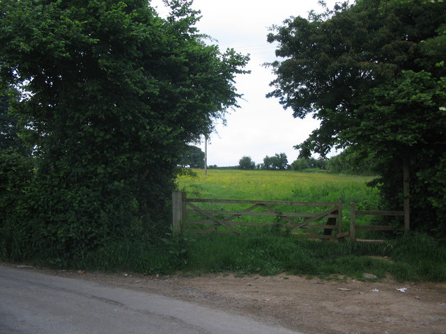
Footpath at Greenhill A view looking north towards the stile at the start of the public footpath from Greenhill to Mongers Lane.
North from Kitley Hill. Looking toward Timsbury.


