Monsal Trail Circular Walk
![]()
![]() A circular walk along the Monsal Trail visiting Miller's Dale, Monsal Dale and Monsal Head before returning via Taddington.
A circular walk along the Monsal Trail visiting Miller's Dale, Monsal Dale and Monsal Head before returning via Taddington.
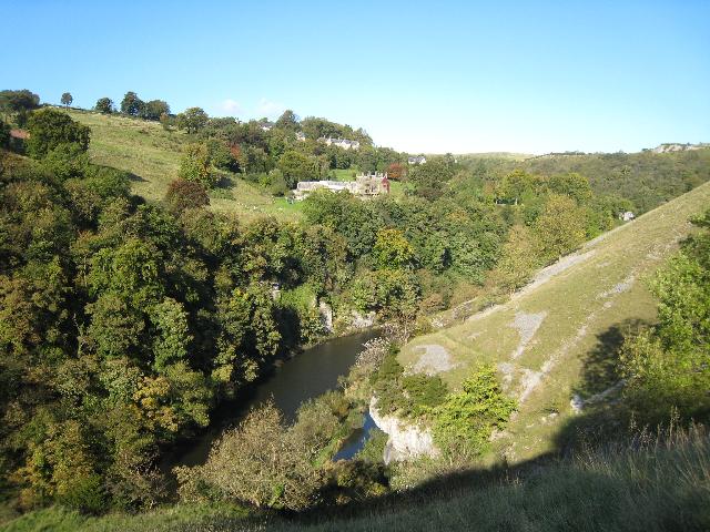
The route starts from the car park at the Miller's Dale Viaduct. Follow the trail east through the lovely Miller's Dale with views of the River Wye.
You continue past the village of Cressbrook to Monsal Head where you will pass the impressive Headstone Viaduct. The structure was built by the Midland Railway over the River Wye in 1836 and is some is 300 feet (91 m) long.
The route then turns south, leaving the Monsal Trail, to pass through the woodland of Monsal Dale.
You then turn west, following country lanes to Taddington. The village has an interesting 14th century church while on Taddington Moor you can visit the Five Wells chambered tomb.
The route then heads north along Long Lane, passing Priestcliffe, before returning to the car park at Miller's Dale. Near here there's also
You can extend your walking in the area by continuing east along the Monsal Trail towards Bakewell.
Our Miller's Dale circular walk explores the shady wooded valleys and rushing rivers of Miller's Dale, Tideswell Dale and Monk's Dale. There's also the Litton Mill walk which starts from the nearby 18th century mill.
Monsal Trail Circular Walk Ordnance Survey Map  - view and print off detailed OS map
Monsal Trail Circular Walk Open Street Map  - view and print off detailed map
*New* - Walks and Cycle Routes Near Me Map - Waymarked Routes and Mountain Bike Trails>>
Monsal Trail Circular Walk OS Map  - Mobile GPS OS Map with Location tracking
Monsal Trail Circular Walk Open Street Map  - Mobile GPS Map with Location tracking
Pubs/Cafes
In Taddington you could enjoy a pit stop at the Queens Arms. They have a good selection of ales and serve a fine Sunday roast. There's also a pleasant garden area for warmer weather. The pub can be found on the Main Road at postcode SK17 9UD. It is dog friendly.
Further Information and Other Local Ideas
For an alternative circular walk along the trail try the Bakewell Railway Walk. This starts from Bakewell and visits Monsal Head before heading to the picture postcard village of Ashford in the Water.
Just to the south west there's Chelmorton, an interesting settlement which makes a fine start point for exploring the area. The village includes an ancient 11th century church and a fine 18th century pub too.
For more walking ideas in the area see the Peak District Walks and White Peak Walks pages.


