Myddfai Walks
![]()
![]() This small Carmarthenshire village is located just south of Llandovery on the western side of the Brecon Beacons National Park.
This small Carmarthenshire village is located just south of Llandovery on the western side of the Brecon Beacons National Park.
Myddfai is a popular place for tourists with a 14th century Grade I listed church and an excellent, energy efficient visitor centre. The centre has a craft shop, gift shop and a fine cafe. The village is also the home of Llwynywermod, a royal residence used by the Prince of Wales.
For walkers the long distance Cambrian Way passes right through the village. The epic trail is a great way of further exploring the area on a waymarked footpath. The trail could be followed north to Llandovery where you can link up with the Heart of Wales Line Trail. This trail explores the Heart of Wales Railway Line visiting some of the significant old stations and viaducts along the route.
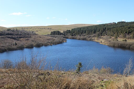
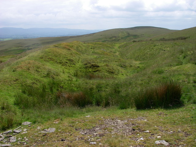
This circular walk from the village climbs to the wonderful viewpoint at Mynydd Myddfai before descending to the nearby Usk Reservoir. Here you can enjoy waterside and woodland walks with fantastic views of the Black Mountains.
Postcode
SA20 0JD - Please note: Postcode may be approximate for some rural locationsPlease click here for more information
Myddfai Ordnance Survey Map  - view and print off detailed OS map
Myddfai Open Street Map  - view and print off detailed map
*New* - Walks and Cycle Routes Near Me Map - Waymarked Routes and Mountain Bike Trails>>
Myddfai OS Map  - Mobile GPS OS Map with Location tracking
Myddfai Open Street Map  - Mobile GPS Map with Location tracking
Walks near Myddfai
- Llandovery - This market town in the Cambrian Mountains has some nice riverside walks along the River Towy and River Bran to try
- Usk Reservoir - Follow the circular cycling and walking trail around the beautiful Usk Reservoir on this route in the Brecon Beacons National Park
- Cynghordy Viaduct - This circular walk visit the impressive Cynghordy Viaduct in Carmarthenshire
- Llandeilo - This circular walk takes you through the countryside surrounding the Carmarthenshire town of Llandeilo
- Dinefwr Park - Explore the 12th-century Welsh castle, the historic house, the 18th-century landscaped park and the medieval deer park in this large park in Llandeilo.
- Llyn Brianne - Enjoy a walk or cycle along this beautiful reservoir in central Wales
- Llyn y Fan Fach - This is a super waterside walk through a particularly beautiful section of the Brecon Beacons
- Epynt Way - A circular cycling and walking route on lanes and bridleways within the boundary of the MOD's busy Sennybridge Army Training Area
- LLanwrtyd Wells - This settlement in Powys is notable as the smallest town in Britain
- Gelli Aur Country Park - This lovely country park surrounds the Golden Grove mansion in Carmarthenshire.
- Heart of Wales Line Trail - This long distance trail runs from Craven Arms in Shropshire to Llanelli in South Wales
- Garn Goch - This walk climbs to the hill fort at Garn Goch, located near Llandeilo and Llangadog in the Brecon Beacons.
- Tywi Valley - This walk explores the Tywi Valley and forest in the Cambrian Mountains.
- Cambrian Way - This epic long distance trail runs from Cardiff on the south coast of Wales to Conwy on the north coast.
- Trecastle - This Powys based village is located close to the River Usk on the edge of the Brecon Beacons.
- Sennybridge - This Powys based village is located in the Brecon Beacons at the point where the rivers Senni and Usk meet.
Photos
Myddfai Church. The church was designated as Grade I-listed building on 7 August 1966, as a fine example of "a largely complete medieval church of a scale and detail unexpected in so rural a location. Unusually intact interior including arcades, complete surviving late medieval roofs and the extensive survival of late medieval window tracery. The double nave form is relatively rare in the county, being more common in Powys".


