Trecastle Walks
![]()
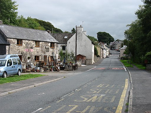
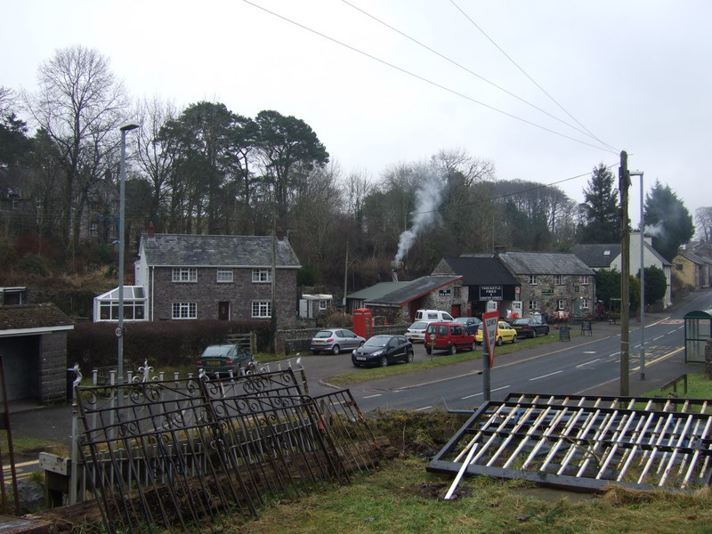
![]() This Powys based village is located close to the River Usk on the edge of the Brecon Beacons.
This Powys based village is located close to the River Usk on the edge of the Brecon Beacons.
This long circular walk from the village takes you west to visit Trecastle Mountain where you will find the ancient Roman site of Y Pigwn. The site consists of two overlaying Roman practice marching camps and sits at a height of 412 metres. You can reach the mountain by following the Roman Road west from the village. It's a historically significant location having been described as 'amongst the best-preserved and best-known Roman temporary camps in Wales'. On the way you will also pass Mynydd Bach stone circle.
From here you can continue west to Mynydd Myddfai before descending to the Usk Reservoir. Here you can enjoy some lovely waterside footpaths and miles of peaceful woodland trails through the surrounding woodland of the Glasfynydd Forest. There's also fine views over the water to the surrounding peaks of the Black Mountains.
On the western side of the reservoir you can extend your walking by picking up the Cambrian Way. This can then be followed north to visit Llandovery where there are nice riverside walks along the River Towy and River Bran. You can also pick up the Heart of Wales Line Trail in this area.
Trecastle Ordnance Survey Map  - view and print off detailed OS map
Trecastle Open Street Map  - view and print off detailed map
*New* - Walks and Cycle Routes Near Me Map - Waymarked Routes and Mountain Bike Trails>>
Trecastle OS Map  - Mobile GPS OS Map with Location tracking
Trecastle Open Street Map  - Mobile GPS Map with Location tracking
Walks near Trecastle
- Usk Reservoir - Follow the circular cycling and walking trail around the beautiful Usk Reservoir on this route in the Brecon Beacons National Park
- Llyn y Fan Fach - This is a super waterside walk through a particularly beautiful section of the Brecon Beacons
- Llyn Y Fan Fawr - This challenging circular walk visits Llyn Y Fan Fawr and Llyn Y Fan Fach in the Brecon Beacons
- Llandovery - This market town in the Cambrian Mountains has some nice riverside walks along the River Towy and River Bran to try
- Epynt Way - A circular cycling and walking route on lanes and bridleways within the boundary of the MOD's busy Sennybridge Army Training Area
- Heart of Wales Line Trail - This long distance trail runs from Craven Arms in Shropshire to Llanelli in South Wales
- Cambrian Way - This epic long distance trail runs from Cardiff on the south coast of Wales to Conwy on the north coast.
- Myddfai - This small Carmarthenshire village is located just south of Llandovery on the western side of the Brecon Beacons National Park.
- Sennybridge - This Powys based village is located in the Brecon Beacons at the point where the rivers Senni and Usk meet.
Dog Walking
Just to the north west of the reservoir is the village of Myddfai. The village is a popular place to visit with a 14th century Grade I listed church and an excellent, energy efficient visitor centre.
Just east is neighbouring Sennybridge where there Rivers Senni and Usk meet.


