Newcastleton Railway Walk
![]()
![]() This walk takes you along the now disused Border Union Railway line in the village of Newcastleton in the Scottish Borders.
This walk takes you along the now disused Border Union Railway line in the village of Newcastleton in the Scottish Borders.
Newcastleton station closed along with the line in 1969 but the old track can now be used for a pleasant walk.
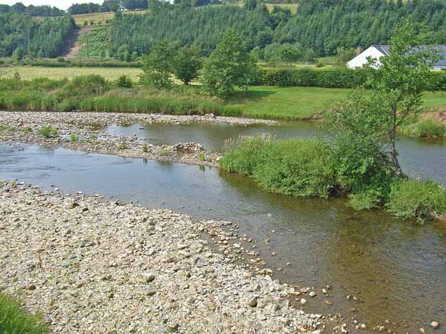
You can pick up the trail just to the south of the village and follow it south to Kershopefoot. Along the way there's nice views of Liddel Water and the surrounding countryside and hills. You will also pass the remains of the old stations and the ruins of Mangerton Tower, a Scottish tower castle formerly belonging to the Armstrong family. See the video below for more details on this historic site.
To continue your walking in the area head west to climb to the Langholm Monument for some fine views over the area.
Newcastleton Railway Walk Ordnance Survey Map  - view and print off detailed OS map
Newcastleton Railway Walk Open Street Map  - view and print off detailed map
Newcastleton Railway Walk OS Map  - Mobile GPS OS Map with Location tracking
Newcastleton Railway Walk Open Street Map  - Mobile GPS Map with Location tracking
Further Information and Other Local Ideas
To the east there's the expansive Kershope Forest where you'll find mile of peaceful woodland walking trails. The popular Kielder Forest Lakeside Way and Kielder Reservoir are also located to the east.
For cyclists the new Kirkpatrick C2C also passes through the village. The epic Coast to Coast route runs across the south of Scotland from Stranraer to Eyemouth.
Cycle Routes and Walking Routes Nearby
Photos
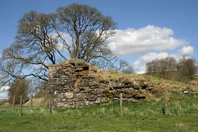
A dismantled railway at Mangerton. This is the trackbed of the former Waverley Railway Line that was closed in 1969. At the edge of the square to the south of Mangerton Farm
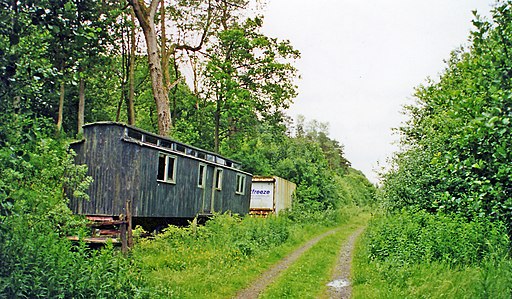
Kershope Foot station. View southward, towards Carlisle: ex-NBR Waverley Route, Carlisle - Hawick - Edinburgh, closed throughout 6/1/69. (Hopefully, this major route will be reopened, eventually: a start has been made, Edinburgh - Galashiels).


