Newick and Fletching Common Walk
![]()
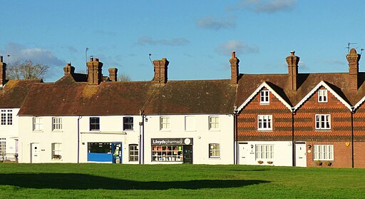
![]() This walk visits Fletching Common, near the village of Newick in East Sussex.
This walk visits Fletching Common, near the village of Newick in East Sussex.
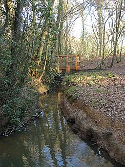
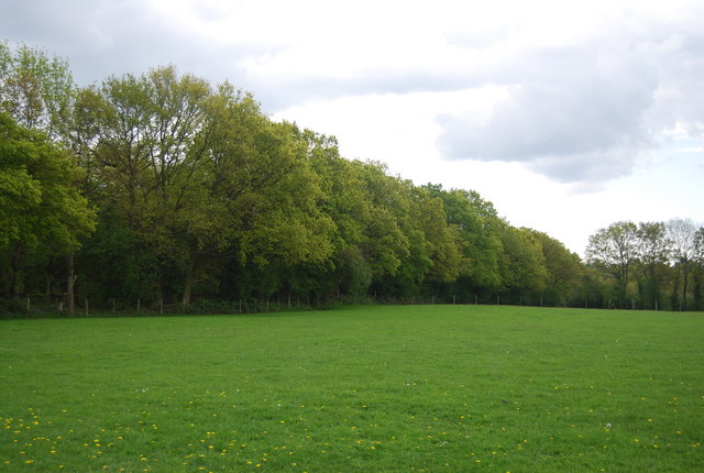
The common sits just to the north west of the village and includes a series of pleasant footpaths. There's woodland trails, streams, countryside views and bluebells to see in the spring months.
The walk can easily be extended by heading west to visit Chailey Common. There's an old Heritage Windmill and lots of wildlife to look out for here. To the north there's one of the major area highlights at Sheffield Park where there's extensive parkland and a series of pretty lakes.
Please scroll down for the full list of walks near and around Newick and Fletching Common. The detailed maps below also show a range of footpaths, bridleways and cycle paths in the area.
Newick and Fletching Common Ordnance Survey Map  - view and print off detailed OS map
Newick and Fletching Common Open Street Map  - view and print off detailed map
Newick and Fletching Common OS Map  - Mobile GPS OS Map with Location tracking
Newick and Fletching Common Open Street Map  - Mobile GPS Map with Location tracking
Walks near Newick
- Sheffield Park - Explore the beautiful Sheffield Park and Gardens on this circular walk near Haywards Heath in Sussex
- Chailey Common - This pretty area of common land near Haywards Heath has a series of nice footpaths to try
- Sussex Border Path - A fabulous long distance walk following the Sussex county border from Thorney Island in West Sussex to Rye in East Sussex
- Haywards Heath - This walk from Haywards Heath visits two of the highlights of the area at Ardingly Reservoir and Wakehurst Place
- Ardingly Reservoir - This 198 acre reservoir and nature reserve has a lovely waterside walking path ideal for an easy stroll
- High Weald Landscape Trail - Explore the High Weald AONB on this fabulous 90 mile walk that links the ridge-top villages and historic gardens for which the area is famous
- Wakehurst Place - Located in Haywards Heath, Wakehurst is the country estate of the Royal Botanic Gardens, Kew
- Weir Wood Reservoir - This 280 acre reservoir has a super circular walking path to try
- Nymans Gardens - Explore the gardens and woodland walk of this delightful estate on this short route in Handcross, near Haywards Heath
- Brighton Way - A super route though the South Downs from Horley to Brighton
- Diamond Way - This is a fairly easy walk from West to East Sussex through heathland, farmland and forest
- Lindfield - This attractive Sussex based village has a lovely large village pond and an historic High Street.
- Cuckfield - This pretty Mid Sussex based village is close to some fine High Weald countryside walking.
- Bolney - This attractive West Sussex village is located close to Burgess Hill and Haywards Heath
- Bedelands Nature Reserve - This walk visits the Bedelands Farm Nature Reserve in Burgess Hill, West Sussex.
Pubs/Cafes
The Crown Inn, 22 Church Road, BN8 4JX. An old coaching inn surviving from the days when the King’s Highway was what is now Blind Lane. They serve good food and have a wonderful beer garden, complete with patio, boule court and children’s' play area. The pub is dog friendly.
Photos
Looking across Lower Park Pond towards Newick Park. Newick Park is at the south of the parish. The house sits at the head of a wooded gill tangled with rhododendrons, which descends to the Longford Stream. It was built in 1560 for iron master, but was extended greatly in the 18th century. It was once the home of William Joynson-Hicks, 1st Viscount Brentford. The Grade II* listed building was a country hotel, but is now a private house.
To the east of the parish is the River Ouse and to the south of the parish is the Longford Stream. The river is a good place to see kingfishers, leaping trout, banded and beautiful demoiselles and the banks are colourful with great yellowcress and hemp agrimony. Yellowhammers enjoy the bushy stream sides, while pied wagtails like the gravels and clay banks, and grey wagtails can be seen in the weirs and pond bays.


