Old Man of Coniston Circular Walk
![]()
![]() This challenging circular walk climbs to the the Old Man of Coniston before visiting Dow Crag, Buck Pike, Brown Pike and Walna Scar. The route runs for about 7 miles with some significant climbs, reaching a height of 2,634 feet (803 m).
This challenging circular walk climbs to the the Old Man of Coniston before visiting Dow Crag, Buck Pike, Brown Pike and Walna Scar. The route runs for about 7 miles with some significant climbs, reaching a height of 2,634 feet (803 m).
The walk starts in Coniston village and heads north west along the pretty Church Beck to Coniston Waterfall.
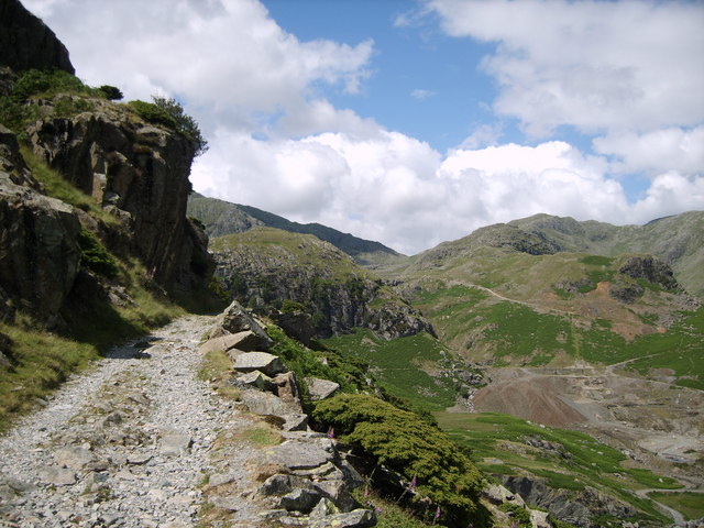
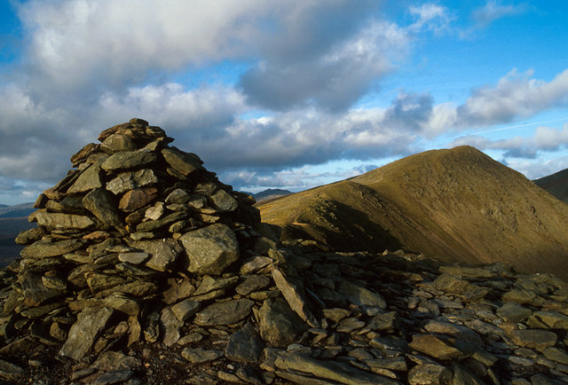
You continue west to Crowberry Haws and the dramatic scenery around the Coniston Quarries. The route then passes Low Water before ascending to the summit of the Old Man. There's wonderful views over Coniston Lake and all the way to the coast at Morecambe Bay.
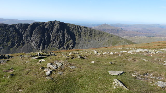
After taking in the views the route descends to Goat's Hawse before turning south to visit Dow Crag at a height of 778 m (2,552 ft). There's fine views over Skiddaw and the Helvellyn range from here.
You continue south past Goat's Water to Buck Pike and Brown Pike. Here you turn east to follow the Walna Scar Road back into Coniston. It's a lovely descent, passing Goatsfoot Quarry, the Torver Beck and Well In Crag before returning to the village.
For an alternative route you can head south from Goat's Hawse to Goat's Water. A path leads along the eastern edge of the little tarn before descending to the Walna Scar Road via Goat Crag. For probably the shortest/easiest route to the summit see the Old Man Of Coniston Easy Route page. This one starts from the parking area at Walna Scar Road, closer to the summit.
To extend your walking in the area you could try our 16 mile Circular Walk around Coniston which visits the tarns, fells and forest surrounding the lake.
The Dow Crag and Seathwaite Tarn Walk starts from the village of Seathwaite just to the west of the fells.
You can also pick up the Cumbria Way long distance trail and enjoy a waterside walk along the lakeside.
Old Man of Coniston Circular Walk Ordnance Survey Map  - view and print off detailed OS map
Old Man of Coniston Circular Walk Open Street Map  - view and print off detailed map
Old Man of Coniston Circular Walk OS Map  - Mobile GPS OS Map with Location tracking
Old Man of Coniston Circular Walk Open Street Map  - Mobile GPS Map with Location tracking
Further Information and Other Local Ideas
On the southern side of the hill you will pass close to the Banishead Quarry. This picturesque area includes old slate quarries with a pretty pool and waterfall.


