Pencelli Walks
![]()
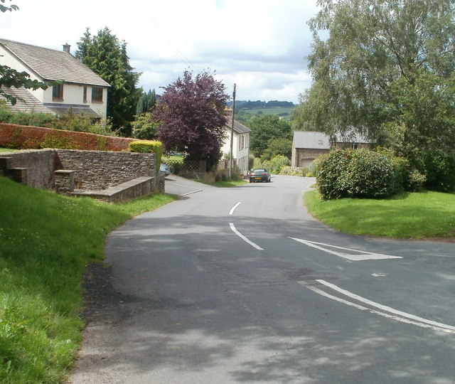
![]() This Powys based village sits in a lovely canalside location with walkers able to enjoy the scenery of the Usk Valley and Brecon Beacons National Park.
This Powys based village sits in a lovely canalside location with walkers able to enjoy the scenery of the Usk Valley and Brecon Beacons National Park.
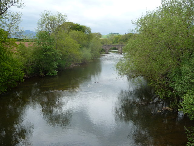
This route uses sections of the Monmouthshire and Brecon Canal and the Taff Trail to create a circular walk from the village. There's nice easy paths along the towpath before following country lanes to the neighbouring village of Llanfrynach. On the route there are fine views of the Cefn Brynich Aqueduct, the River Usk and the Brecon Beacons in the distance.
To extend the walk head north into the town of Brecon where you can visit the canal basin. Heading south will take you to the worthy village of Talybont On Usk with more details on the Brecon to Talybont Canal Walk page.
The popular climb to the wonderful viewpoint at Pen Y Fan is also nearby.
Pencelli Ordnance Survey Map  - view and print off detailed OS map
Pencelli Open Street Map  - view and print off detailed map
Pencelli OS Map  - Mobile GPS OS Map with Location tracking
Pencelli Open Street Map  - Mobile GPS Map with Location tracking
Walks near Pencelli
- Brecon - This circular walk from the town of Brecon takes you along the Monmouthshire and Brecon Canal and the River Usk
- Monmouthshire and Brecon Canal - Follow the Monmouthshire and Brecon Canal from Brecon to Newport on this super waterside walking and cycling route
- Taff Trail - Follow the River Taff, from Cardiff to Brecon, on this fantastic waterside cycling and walking route.
You start on the River Taff in Cardiff and head along the river northwards passing the Millennium Stadium and Cardiff Castle - Talybont Reservoir - This circular cycling and walking route takes you around the lovely Talybont Reservoir in the Brecon Beacons National Park
- Pen Y Fan - Climb the highest peak in South Wales and southern Britain on this stunning walk in the Brecon Beacons National Park.
This is a challenging climb to the 2906 feet (886m) summit but the footpaths are generally very good for most of the walk.
You start at the car park at Storey Arms about 10 miles north of Merthyr Tydfil - Blaen y Glyn Waterfalls - This walk visits a series of beautiful waterfalls on the River Caerfanell near Talybont Reservoir in the Brecon Beacons
- Usk Valley Walk - This super waterside walk follows the River Usk, the Monmouthshire and Brecon Canal and the Brecon and Newport Canal from Caerleon to Brecon
- Pen y Crug - This walk climbs to the ancient hill fort and viewpoint on Pen-y-crug hill in Powys in the Brecon Beacons.
- Brecon to Talybont Canal Walk - This waterside walk takes you along the opening section of the Monmouthshire and Brecon Canal, from Brecon to the village of Talybont On Usk
- Llanfrynach - This Powys village is located in a nice spot for walks along the Monmouthshire and Brecon Canal and the Taff Trail
- Talybont On Usk - This pretty village sits in an enviable location on both the Monmouthshire and Brecon Canal and the Caerfanell river
- Henry Vaughan Walk - This waymarked walk in the Brecon Beacons follows in the footsteps of the 17th century poet Henry Vaughan.
Photos
Royal Oak, Pencelli, Powys. Village pub viewed across the B4558. The rear of the Royal Oak faces the Monmouthshire and Brecon canal.
Distant Brecon Beacons from lane near Llanfrynach. North of Llanfrynach, the Brecon Beacons make a fine sight on the southern edge of the Usk Valley. The distinct shape of the highest of the Beacons, Pen y Fan, can be seen through the gap in the trees and to its left, also on the skyline, is Cribyn.


