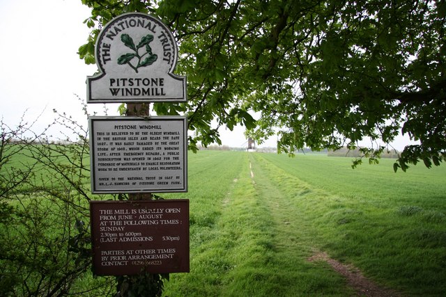
Pitstone Windmill
![]()
![]() This walk visits the Grade II listed Pitstone Windmill, near Ivinghoe in Buckinghamshire.
This walk visits the Grade II listed Pitstone Windmill, near Ivinghoe in Buckinghamshire.
Start the walk from the car park just to the south of the village if Ivinghoe. From here it is a short stroll to the west to visit the mill. The historic mill dates back to the 17th century and was splendidly restored in the 1960s. Today you can explore both the inner and outer workings of the windmill and learn about the grinding of the flour in the milling process. It's in a very picturesque spot, surrounding by lovely Chilterns countryside. You can extend your outing by heading south and climbing to Pitstone Hill. There's another car park just down the road from the mill where you can pick up trails to the viewpoint.
Postcode
LU7 9ER - Please note: Postcode may be approximate for some rural locationsPlease click here for more information
Pitstone Windmill Ordnance Survey Map  - view and print off detailed OS map
Pitstone Windmill Open Street Map  - view and print off detailed map
Pitstone Windmill OS Map  - Mobile GPS OS Map with Location tracking
Pitstone Windmill Open Street Map  - Mobile GPS Map with Location tracking
Pubs/Cafes
You could stroll into Ivinghoe village for some refreshments after your walk. The Rose and Crown is a good choice with a good menu and a nice courtyard garden area. You can find them on Vicarage Lane at postcode LU7 9EQ. They are also dog friendly.
The King’s Head is also worth consideration being set in a 16th century, grade two listed building. They are renowned for their delicous duck dish and can be found on Station Road at postcode LU7 9EB.
Further Information and Other Local Ideas
The climb to the iconic Ivinghoe Beacon starts from the windmill car park. There's excellent views over the countryside from this well known peak.
A few miles west you can visit another historic mill on the Brill Windmill Walk. The 17th century mill is one of the earliest and best preserved examples of a post mill in the whole of the UK.
Just to the north of the mill you could pick up the towpath of the Grand Union Canal. You could follow it south west to visit the Tring Reservoirs where there are some good bird watching opportunities.
The windmill is part of the wider Ashridge Estate which you can explore on the long distance Ashridge Boundary Trail
For another windmill walk in the Chilterns head south to visit the pretty village of Turville where you'll find the Cobstone Windmill. It's also known as the Chitty Chitty Bang Bang Windmill as it was used in a scene in the 1967 film, having been cosmetically restored for filming.
For more walking ideas in the area see the Chilterns Walks and Buckinghamshire Walks pages.


