Sandsend Walks - Sandsend to Runswick Bay
![]()
![]() This pretty little fishing village on the Yorkshire coast is a fine place to visit and start a walk. A large part of the western side of the village, in what is known as The Valley is one of the most expensive areas to buy property on the Yorkshire Coast.
This pretty little fishing village on the Yorkshire coast is a fine place to visit and start a walk. A large part of the western side of the village, in what is known as The Valley is one of the most expensive areas to buy property on the Yorkshire Coast.
This circular walk from the village takes you along the coast to the beautiful Runswick Bay before heading through the countryside to visit Mulgrave Woods.
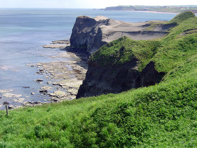
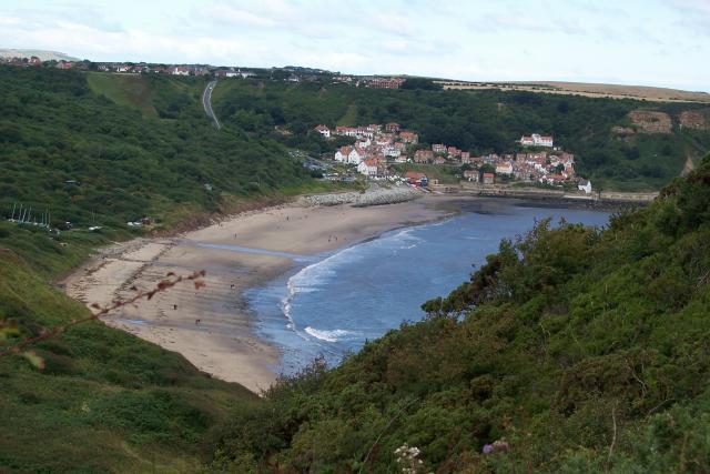
The walk starts in the village and heads north along the coast to Sandsend Ness on the Cleveland Way. This old alum quarrying site includes interesting geology and a large numbers of fossils. The walk continues north west along the waymarked trail to Kettleness. Shortly after you arrive at Runswick Bay, one of the highlights on the Yorkshire Coast. The picturesque village includes a sandy beach, sheltered bay and a number of pretty little cottages.
Also of note is the white thatched property on the seafront which is the only remaining thatched house on the Yorkshire coast.
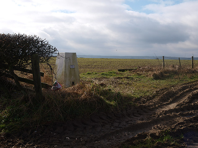
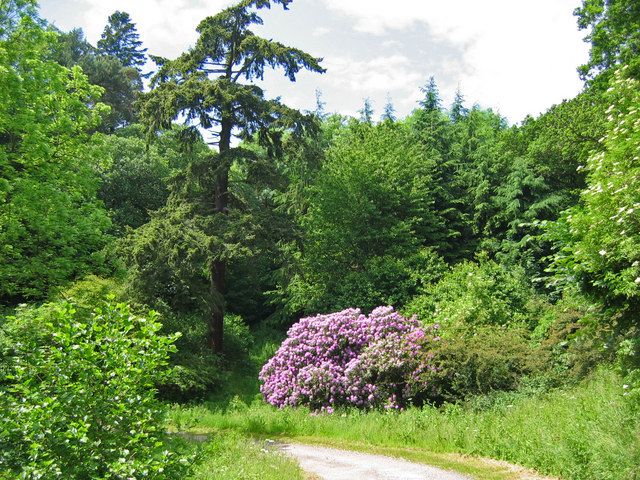
The route then heads back to Kettleness where you turn inlcand to follow some lovely country lanes south past Goldsborough to East Barnby. Near here you enter Mulgrave Woods where there are some peaceful woodland trails, the ruins of Mulgrave Castle and pretty waterfalls to see. At the eastern end of the woods you emerge back on the coast at Sansdend.
Sandsend Ordnance Survey Map  - view and print off detailed OS map
Sandsend Open Street Map  - view and print off detailed map
Sandsend OS Map  - Mobile GPS OS Map with Location tracking
Sandsend Open Street Map  - Mobile GPS Map with Location tracking
Pubs/Cafes
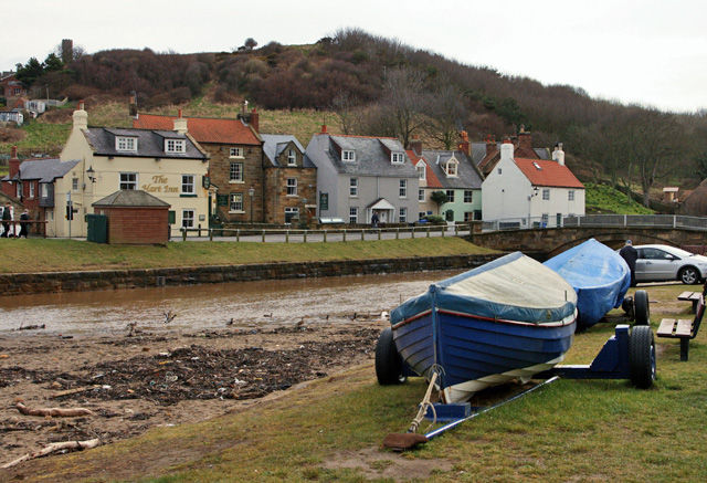
The Hart Inn is located in a fine location just yards from Sandsend beach. The quality pub does excellent food including some delicious crab sandwiches. They also have a lovely large garden area for fine weather. You can find them at East Row with a postcode of YO21 3SU for your sat navs.
Dog Walking
The coastal and woodland trails on the route are ideal for fit dogs. The Hart Inn mentioned above is also dog friendly.
Further Information and Other Local Ideas
Head east on the Whitby to Sandsend Walk and you can visit the nearby town and the atmospheric ruins of Whitby Abbey. You can also pick up the Whitby to Robin's Hood Bay Walk in the town.
The Runswick Bay to Kettleness Circular Walk will take you to Kettleness on the cliff top path before returning along an inland dismantled railway line.
For more walking ideas in the area see the North York Moors Walks page.


